Verpelét | |
|---|---|
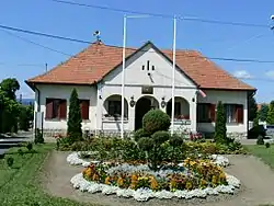 Town hall at Verpelét | |
 Flag  Coat of arms | |
 Verpelét | |
| Coordinates: 47°50′53″N 20°13′34″E / 47.84806°N 20.22611°E | |
| Country | |
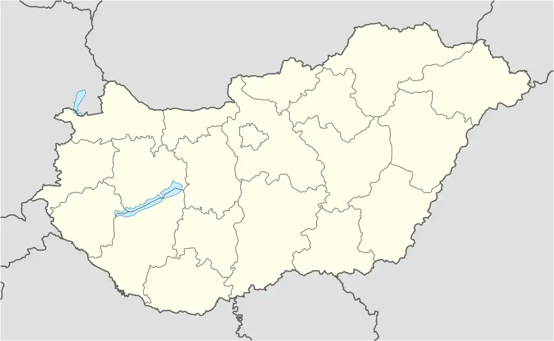
| County | Heves |
| District | Eger |
| Area | |
| • Total | 53.18 km2 (20.53 sq mi) |
| Population (1 January 2015)[1] | |
| • Total | 3,780 |
| • Density | 71/km2 (180/sq mi) |
| Time zone | UTC+1 (CET) |
| • Summer (DST) | UTC+2 (CEST) |
| Postal code | 3264, 3331, 3351 |
| Area code | (+36) 36 |
| Website | www |
Verpelét is a town since 2013, with 3,780 inhabitants end 2014, in Heves county (megye), in the Northern Hungary region.
Geography
History
The VERPELET post office opened on 13 October 1867, and was dependent on Postal Directory Pest.[2]
References
- ↑ Gazetteer of Hungary, 1st January 2015. Hungarian Central Statistical Office.
- ↑ Die Poststempel auf der Freimarken-Ausgabe 1867 von Österreich und Ungarn, Edwin Müller, 1930
External links
Wikimedia Commons has media related to Verpelét.
- Official website in Hungarian
| City with county rights (1) |
| |
|---|---|---|
| Town (1) | ||
| Villages (20) | ||


This article is issued from Wikipedia. The text is licensed under Creative Commons - Attribution - Sharealike. Additional terms may apply for the media files.