Vernoil-le-Fourrier | |
|---|---|
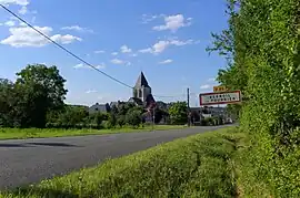 The village of Vernoil-le-Fourrier | |
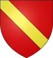 Coat of arms | |
Location of Vernoil-le-Fourrier | |
 Vernoil-le-Fourrier 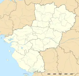 Vernoil-le-Fourrier | |
| Coordinates: 47°23′18″N 0°04′48″E / 47.3883°N 0.08°E | |
| Country | France |
| Region | Pays de la Loire |
| Department | Maine-et-Loire |
| Arrondissement | Saumur |
| Canton | Longué-Jumelles |
| Intercommunality | CA Saumur Val de Loire |
| Government | |
| • Mayor (2020–2026) | Sylvie Beillard[1] |
| Area 1 | 33.1 km2 (12.8 sq mi) |
| Population | 1,283 |
| • Density | 39/km2 (100/sq mi) |
| Demonym(s) | Vernoilais, Vernoilaise |
| Time zone | UTC+01:00 (CET) |
| • Summer (DST) | UTC+02:00 (CEST) |
| INSEE/Postal code | 49369 /49390 |
| Elevation | 45–120 m (148–394 ft) |
| 1 French Land Register data, which excludes lakes, ponds, glaciers > 1 km2 (0.386 sq mi or 247 acres) and river estuaries. | |
Vernoil-le-Fourrier is a commune in the Maine-et-Loire department in western France.
The commune was formerly called Vernoil, and was officially renamed Vernoil-le-Fourrier on 7 July 2006.[3]
See also
References
- ↑ "Répertoire national des élus: les maires". data.gouv.fr, Plateforme ouverte des données publiques françaises (in French). 2 December 2020.
- ↑ "Populations légales 2021". The National Institute of Statistics and Economic Studies. 28 December 2023.
- ↑ Décret n°2006-808 du 7 juillet 2006 portant changement de nom de communes (in French)
Wikimedia Commons has media related to Vernoil-le-Fourrier.
This article is issued from Wikipedia. The text is licensed under Creative Commons - Attribution - Sharealike. Additional terms may apply for the media files.