| Verila | |
|---|---|
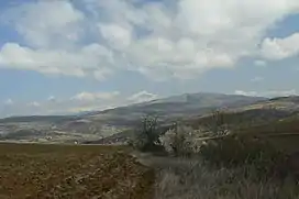 South view of Verila Mountain with Vitosha Mountain in the background | |
| Highest point | |
| Elevation | 1,415 m (4,642 ft) |
| Coordinates | 42°23′30″N 23°15′49″E / 42.39167°N 23.26361°E |
| Geography | |
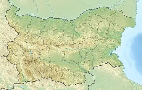 Verila Bulgaria | |
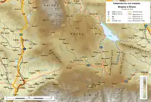
Topographic map of Verila Mountain
Verila Mountain (Bulgarian: Верила [vɛˈriɫɐ]) is a minor range in Western Bulgaria extending 20 km in northwest–southeast direction between Vitosha and Rila Mountains and 12 km wide. Its summit Golyam Debelets Peak rises to 1415 m.[1][2]
Honours
Verila Glacier on Livingston Island in the South Shetland Islands, Antarctica is named after Verila Mountain.
References
- ↑ Mt. Golyam Debelets, Verila Mountain. Mountains of Bulgaria, 2018
- ↑ Soviet military map K-34-059 (1:100,000)
External links
Wikimedia Commons has media related to Verila.
- Arid Verila (in Bulgarian)
This article is issued from Wikipedia. The text is licensed under Creative Commons - Attribution - Sharealike. Additional terms may apply for the media files.