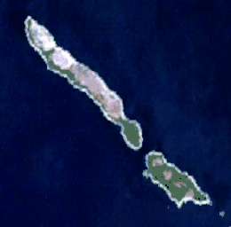
 Satellite image of Vele Srakane (bigger) and Male Srakane (smaller) | |
 Vele Srakane | |
| Geography | |
|---|---|
| Location | Adriatic Sea |
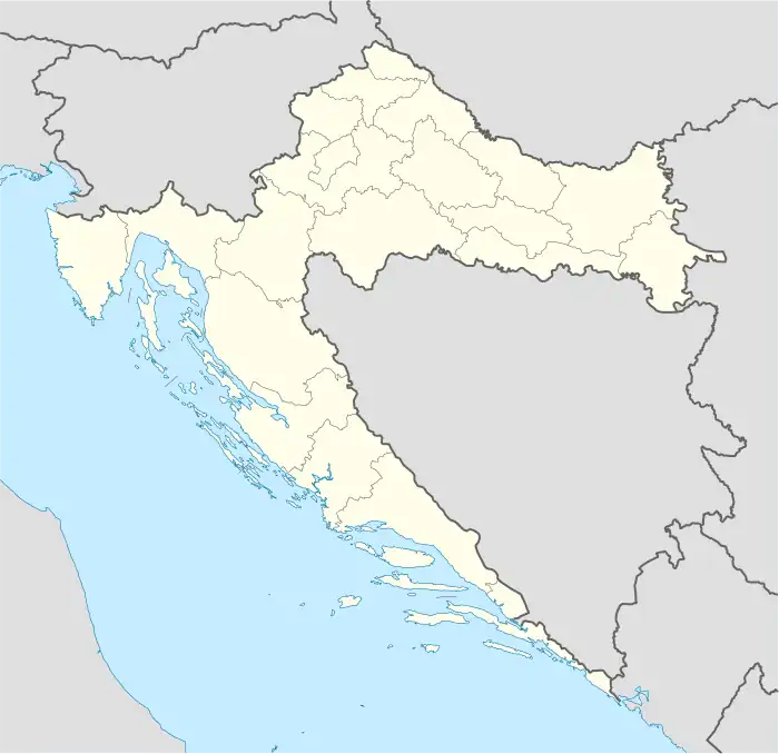
| Coordinates | 44°34′56″N 14°18′35″E / 44.582245°N 14.309671°E |
| Area | 1.15 km2 (0.44 sq mi) |
| Highest elevation | 59 m (194 ft) |
| Highest point | Vela straža |
| Administration | |
| County | |
| Demographics | |
| Population | 4 (2021)[1] |
Vele Srakane is an island in the Croatian part of Adriatic Sea. It is situated between Lošinj, Unije and Susak, just north of Male Srakane. Its area is 1.15 km2,[2][3] and as of 2021, it had a population of 4,[1] down from 8 in 2001.[4] Administratively, it is part of the town of Mali Lošinj. Highest peak is Vela straža, 59 meters high.[3] As of 2012 there are no cars, no shops and no running water on the island.[5] Electricity, however, is available.[6] There is no harbour suitable for sheltering on the island, just two concrete piers unsuitable for longer containment, and the coast contains numerous reefs. This leads the islanders to ground their boats rather than anchor them.[6] The island has been inhabited since prehistory.[7] On Vela Straža, there are remnants of this prehistoric settlement.[7]
References
- 1 2 "Results". Census of Population, Households and Dwellings in 2021. Zagreb: Croatian Bureau of Statistics. 2022.
- ↑ Duplančić Leder, Tea; Ujević, Tin; Čala, Mendi (June 2004). "Coastline lengths and areas of islands in the Croatian part of the Adriatic Sea determined from the topographic maps at the scale of 1 : 25 000" (PDF). Geoadria. Zadar. 9 (1): 5–32. doi:10.15291/geoadria.127. Retrieved 2019-12-06.
- 1 2 (in Croatian) First Croatian online peljar
- ↑ Statistical yearbook for 2006 of Central bureau of statistics of Republic of Croatia
- ↑ "Lošinj" (PDF) (in Croatian). Town of Mali Lošinj Tourism Office. 2012. Retrieved 27 January 2013.
- 1 2 (in Croatian) Fishing trip to Vele Srakane Archived 2007-07-11 at the Wayback Machine
- 1 2 "Srakane". tz-malilosinj.hr (in Croatian). Retrieved 27 December 2012.
External links
- Robinzoni ne vole golaće (in Croatian)