| Vanishing Falls | |
|---|---|
 | |
| Location | South West Tasmania, Australia |
| Coordinates | 43°23′33″S 146°38′11″E / 43.39250°S 146.63639°E[1] |
| Type | Ledge |
| Elevation | 390m[1] |
| Total height | 70 metres (230 ft)[2] |
| Watercourse | Salisbury River |
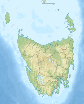
Vanishing Falls is a ledge waterfall in south-west Tasmania, Australia that drains into a sinkhole. It is located on the Salisbury River within the Southwest National Park.
Description
At Vanishing Falls, the Salisbury River flows over a dolerite plateau underlain by limestone. The river flows over the edge of the dolerite sill and drains straight into a cave system in the limestone, a phenomenon attributed to karst processes. The above-ground channel downstream of the plunge pool flows only during floods.[3]
The Salisbury River is a tributary of the New River.[1]
Access
The falls are surrounded by dense scrub and are located in remote wilderness, accordingly there are no designated trails leading to the falls.[4][2]
See also
References
- 1 2 3 "the LIST Map". Land Information System Tasmania (theLIST), Government of Tasmania. Search "Vanishing Falls". Retrieved 28 May 2017.
- 1 2 Dixon, Grant; Sharples, Chris (1986). "Reconnaissance Geological Observations on Precambrian and Palaeozoic Rocks of the New and Salisbury Rivers, Southern Tasmania" (PDF). University of Tasmania. Retrieved 28 May 2017.
- ↑ Jerie, Kathryn; Houshold, Ian; Peters, David (June 2003). "Tasmania's river geomorphology: stream character and regional analysis. Volume 1" (PDF). Department of Primary Industries, Water and Environment. Retrieved 27 May 2017.
- ↑ Meyer, Robert; Smith, Howard. "Skyline No. 23 - Vanishing Falls" (PDF). Launceston Walking Club. Retrieved 27 May 2017.
Further reading
External links
This article is issued from Wikipedia. The text is licensed under Creative Commons - Attribution - Sharealike. Additional terms may apply for the media files.