Vandré | |
|---|---|
Part of La Devise | |
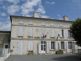 Town hall | |
Location of Vandré | |
 Vandré 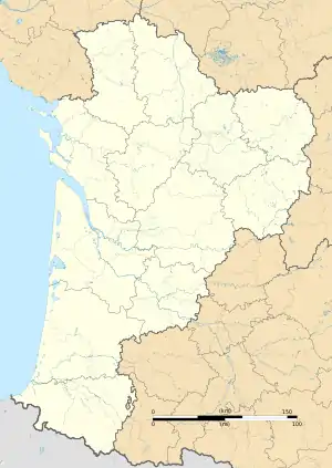 Vandré | |
| Coordinates: 46°03′23″N 0°45′50″W / 46.0564°N 0.7639°W | |
| Country | France |
| Region | Nouvelle-Aquitaine |
| Department | Charente-Maritime |
| Arrondissement | Rochefort |
| Canton | Surgères |
| Commune | La Devise |
| Area 1 | 14.57 km2 (5.63 sq mi) |
| Population (2019)[1] | 898 |
| • Density | 62/km2 (160/sq mi) |
| Time zone | UTC+01:00 (CET) |
| • Summer (DST) | UTC+02:00 (CEST) |
| Postal code | 17700 |
| Elevation | 6–42 m (20–138 ft) (avg. 15 m or 49 ft) |
| 1 French Land Register data, which excludes lakes, ponds, glaciers > 1 km2 (0.386 sq mi or 247 acres) and river estuaries. | |
Vandré (French pronunciation: [vɑ̃dʁe]) is a former commune in the Charente-Maritime department in southwestern France. On 1 January 2018, it was merged into the new commune of La Devise.[2]
Population
| Year | Pop. | ±% |
|---|---|---|
| 1962 | 564 | — |
| 1968 | 602 | +6.7% |
| 1975 | 646 | +7.3% |
| 1982 | 678 | +5.0% |
| 1990 | 745 | +9.9% |
| 1999 | 725 | −2.7% |
| 2008 | 760 | +4.8% |
See also
References
- ↑ Téléchargement du fichier d'ensemble des populations légales en 2019, INSEE
- ↑ Arrêté préfectoral 29 September 2017 (in French)
Wikimedia Commons has media related to Vandré.
This article is issued from Wikipedia. The text is licensed under Creative Commons - Attribution - Sharealike. Additional terms may apply for the media files.