Vallerano | |
|---|---|
| Comune di Vallerano | |
 | |
Location of Vallerano | |
 Vallerano Location of Vallerano in Italy 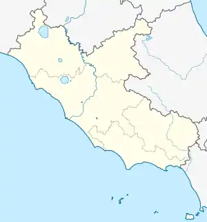 Vallerano Vallerano (Lazio) | |
| Coordinates: 42°23′N 12°15′E / 42.383°N 12.250°E | |
| Country | Italy |
| Region | Lazio |
| Province | Viterbo (VT) |
| Government | |
| • Mayor | Maurizio Gregori |
| Area | |
| • Total | 15.5 km2 (6.0 sq mi) |
| Elevation | 390 m (1,280 ft) |
| Population (31 December 2010)[2] | |
| • Total | 2,667 |
| • Density | 170/km2 (450/sq mi) |
| Demonym | Valleranesi |
| Time zone | UTC+1 (CET) |
| • Summer (DST) | UTC+2 (CEST) |
| Postal code | 01030 |
| Dialing code | 0761 |
| Website | Official website |
Vallerano is a comune (municipality) in the Province of Viterbo in the Italian region of Latium, located about 60 kilometres (37 mi) northwest of Rome and about 13 kilometres (8 mi) southeast of Viterbo.
Vallerano borders the following municipalities: Canepina, Caprarola, Carbognano, Fabrica di Roma, Soriano nel Cimino, Vignanello.
Among the monumental structures in the town is the 17th century Marian shrine, the Sanctuary of the Madonna del Ruscello, also called the Santuario di Maria Santissima del Ruscello dei Donatori di Sangue.
References
- ↑ "Superficie di Comuni Province e Regioni italiane al 9 ottobre 2011". Italian National Institute of Statistics. Retrieved 16 March 2019.
- ↑ All demographics and other statistics: Italian statistical institute Istat.
External links
This article is issued from Wikipedia. The text is licensed under Creative Commons - Attribution - Sharealike. Additional terms may apply for the media files.