Val d'Erdre-Auxence | |
|---|---|
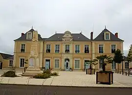 The town hall in Louroux-Béconnais | |
Location of Val d'Erdre-Auxence | |
 Val d'Erdre-Auxence 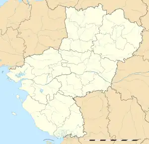 Val d'Erdre-Auxence | |
| Coordinates: 47°31′23″N 0°53′06″W / 47.523°N 0.885°W | |
| Country | France |
| Region | Pays de la Loire |
| Department | Maine-et-Loire |
| Arrondissement | Segré |
| Canton | Chalonnes-sur-Loire |
| Intercommunality | Vallées du Haut-Anjou |
| Area 1 | 213.22 km2 (82.32 sq mi) |
| Population | 4,946 |
| • Density | 23/km2 (60/sq mi) |
| Time zone | UTC+01:00 (CET) |
| • Summer (DST) | UTC+02:00 (CEST) |
| INSEE/Postal code | 49183 /49370 |
| 1 French Land Register data, which excludes lakes, ponds, glaciers > 1 km2 (0.386 sq mi or 247 acres) and river estuaries. | |
Val d'Erdre-Auxence is a commune in the Maine-et-Loire department of western France. The municipality was established on 15 December 2016 and consists of the former communes of La Cornuaille, Le Louroux-Béconnais and Villemoisan.[2]
Population
| Year | Pop. | ±% p.a. |
|---|---|---|
| 1968 | 3,250 | — |
| 1975 | 3,066 | −0.83% |
| 1982 | 3,165 | +0.46% |
| 1990 | 3,206 | +0.16% |
| 1999 | 3,351 | +0.49% |
| 2007 | 4,181 | +2.80% |
| 2012 | 4,617 | +2.00% |
| 2017 | 4,892 | +1.16% |
| Source: INSEE[3] | ||
See also
References
Wikimedia Commons has media related to Val d'Erdre-Auxence.
- ↑ "Populations légales 2021". The National Institute of Statistics and Economic Studies. 28 December 2023.
- ↑ Arrêté préfectoral 30 September 2016 (in French)
- ↑ Population en historique depuis 1968, INSEE
This article is issued from Wikipedia. The text is licensed under Creative Commons - Attribution - Sharealike. Additional terms may apply for the media files.