Val-d'Oire-et-Gartempe | |
|---|---|
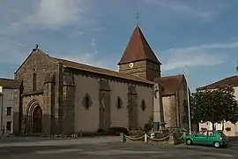 The church of Saint-Maurice, in Bussière-Poitevine | |
Location of Val-d'Oire-et-Gartempe | |
 Val-d'Oire-et-Gartempe 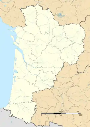 Val-d'Oire-et-Gartempe | |
| Coordinates: 46°14′11″N 0°54′20″E / 46.2364°N 0.9056°E | |
| Country | France |
| Region | Nouvelle-Aquitaine |
| Department | Haute-Vienne |
| Arrondissement | Bellac |
| Canton | Châteauponsac |
| Intercommunality | Haut Limousin en Marche |
| Government | |
| • Mayor (2020–2026) | André Dubois[1] |
| Area 1 | 121.46 km2 (46.90 sq mi) |
| Population | 1,691 |
| • Density | 14/km2 (36/sq mi) |
| Time zone | UTC+01:00 (CET) |
| • Summer (DST) | UTC+02:00 (CEST) |
| INSEE/Postal code | 87028 /87320 |
| Elevation | 121–267 m (397–876 ft) |
| 1 French Land Register data, which excludes lakes, ponds, glaciers > 1 km2 (0.386 sq mi or 247 acres) and river estuaries. | |
Val-d'Oire-et-Gartempe (French pronunciation: [val dwaʁ e ɡaʁtɑ̃p]; Occitan: Vau d'Oira e Gartempa) is a commune in the Haute-Vienne department in the Nouvelle-Aquitaine region in western France. It was established on 1 January 2019 by merger of the former communes of Bussière-Poitevine (the seat), Darnac, Saint-Barbant and Thiat.[3]
See also
References
- ↑ "Répertoire national des élus: les maires" (in French). data.gouv.fr, Plateforme ouverte des données publiques françaises. 13 September 2022.
- ↑ "Populations légales 2021". The National Institute of Statistics and Economic Studies. 28 December 2023.
- ↑ Arrêté préfectoral 3 August 2018, modified 19 October 2018 (in French)
Wikimedia Commons has media related to Val-d'Oire-et-Gartempe.
This article is issued from Wikipedia. The text is licensed under Creative Commons - Attribution - Sharealike. Additional terms may apply for the media files.