Saint-Hilaire-Bonneval | |
|---|---|
.jpg.webp) Town hall in Saint-Hilaire-Bonneval | |
.svg.png.webp) Coat of arms | |
Location of Saint-Hilaire-Bonneval | |
 Saint-Hilaire-Bonneval 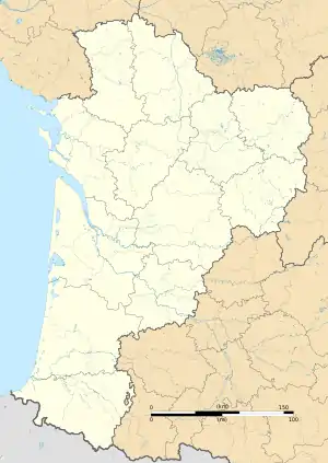 Saint-Hilaire-Bonneval | |
| Coordinates: 45°43′13″N 1°22′30″E / 45.7203°N 1.37500°E | |
| Country | France |
| Region | Nouvelle-Aquitaine |
| Department | Haute-Vienne |
| Arrondissement | Limoges |
| Canton | Condat-sur-Vienne |
| Government | |
| • Mayor (2020–2026) | Christian Latouille[1] |
| Area 1 | 28.49 km2 (11.00 sq mi) |
| Population | 1,001 |
| • Density | 35/km2 (91/sq mi) |
| Time zone | UTC+01:00 (CET) |
| • Summer (DST) | UTC+02:00 (CEST) |
| INSEE/Postal code | 87148 /87260 |
| Elevation | 229–383 m (751–1,257 ft) |
| 1 French Land Register data, which excludes lakes, ponds, glaciers > 1 km2 (0.386 sq mi or 247 acres) and river estuaries. | |
Saint-Hilaire-Bonneval (French pronunciation: [sɛ̃.t‿ilɛʁ bɔnval]; Occitan: Sent Alari Bona Vau) is a commune in the Haute-Vienne department in the Nouvelle-Aquitaine region in west-central France.
Geography
The river Briance forms all of the commune's western border.
See also
References
- ↑ "Répertoire national des élus: les maires". data.gouv.fr, Plateforme ouverte des données publiques françaises (in French). 2 December 2020.
- ↑ "Populations légales 2021". The National Institute of Statistics and Economic Studies. 28 December 2023.
Wikimedia Commons has media related to Saint-Hilaire-Bonneval.
This article is issued from Wikipedia. The text is licensed under Creative Commons - Attribution - Sharealike. Additional terms may apply for the media files.