| Unicorn Ridge, Hong Kong | |
|---|---|
| 雞胸山 | |
 Unicorn Ridge can be seen in the background, foreground is the now-demolished Kowloon Walled City | |
| Highest point | |
| Elevation | 437 m (1,434 ft) |
| Coordinates | 22°21′22″N 114°11′40″E / 22.3561553°N 114.1945384°E |
| Geography | |
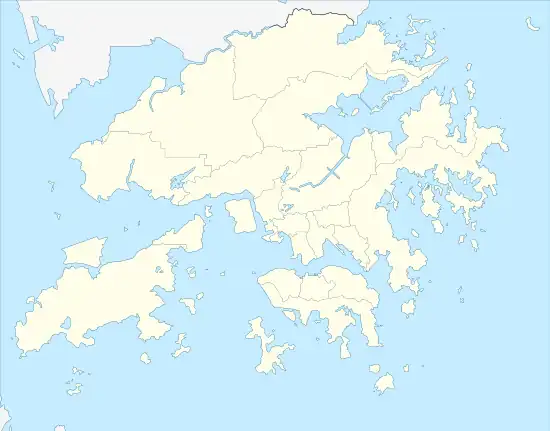 Unicorn Ridge, Hong Kong Location of Unicorn Ridge in Hong Kong | |
| Location | |
Unicorn Ridge (Chinese: 雞胸山; lit. 'Chicken Breast Mountain') is a mountain in Hong Kong at 437 metres (1,434 ft) in height.[1] It is one of the Eight Mountains of the Kowloon Ridge and falls within Lion Rock Country Park. Sha Tin Pass lies between Unicorn Ridge and Temple Hill.[2]
The summit of Unicorn Ridge is just above MacLehose Trail, west of Sha Tin Pass.[3]
See also
References
- ↑ "Node: Unicorn Ridge (1167628578)". OpenStreetMap. Retrieved 2020-06-24.
- ↑ Eastern Fortress: A Military History of Hong Kong, 1840–1970
- ↑ "Lion Rock". www.afcd.gov.hk. Retrieved 2020-06-24.
This article is issued from Wikipedia. The text is licensed under Creative Commons - Attribution - Sharealike. Additional terms may apply for the media files.