Tutuba | |
|---|---|
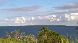
 View of Tutuba Island from Espiritu Santo | |
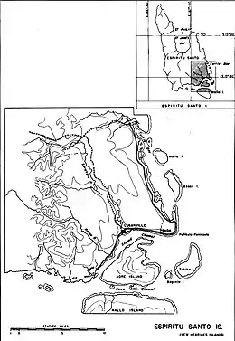
 The island is located on the bottom right of the map | |
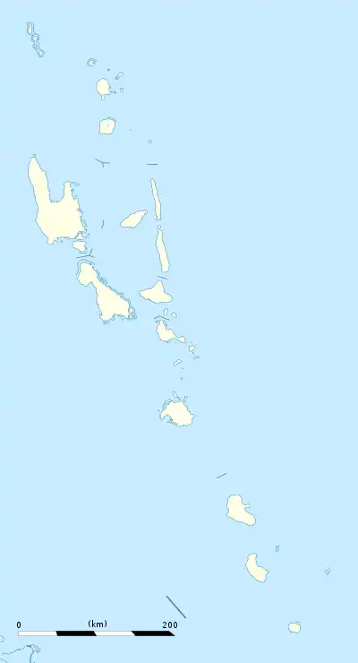
 Tutuba Location in Vanuatu | |
| Coordinates: 15°34′S 167°17′E / 15.56°S 167.29°E | |
| Country | |
| Province | Sanma Province |
| Area | |
| • Total | 13.82 km2 (5.34 sq mi) |
| Population (2009) | |
| • Total | 609 |
| • Density | 44/km2 (110/sq mi) |
| Time zone | UTC+11 (VUT) |
Tutuba is an island in Vanuatu, located off the coast of Vanuatu's largest island Espiritu Santo in Sanma Province.[1]
Population
The small local population of Tutuba of some 600 people live in villages along the north-western shore. The local inhabitants speak the Tutuba language.[2]
Geography
The island is quite small being 7.0 km long and just 2.5 km wide at the widest point. According to the Lonely Planet guide, "golden beaches line Tutuba's west coast."[3]
References
- ↑ "Surrounding Islands". Espiritu Santo Tourism. Retrieved 17 August 2018.
- ↑ "Tangoa". Ethnologue. Retrieved 29 August 2015.
- ↑ David Harcombe and Denis O'Byrne, Vanuatu (Lonely Planet, 1995), p. 245.
This article is issued from Wikipedia. The text is licensed under Creative Commons - Attribution - Sharealike. Additional terms may apply for the media files.
