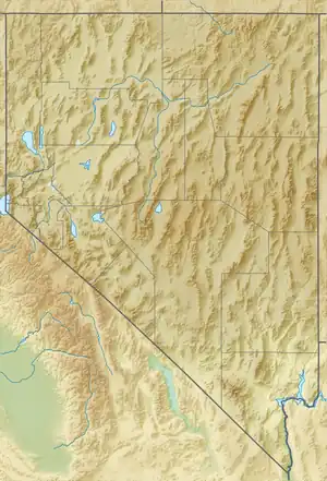
| Tule Springs Hills | |
|---|---|
| Dimensions | |
| Length | 16 mi (26 km) NNW |
| Geography | |
| Country | United States |
| State | Nevada |
| District | Lincoln County |
| Range coordinates | 37°4′50″N 114°10′44″W / 37.08056°N 114.17889°W |
| Topo map | USGS Tule Spring |
The Tule Springs Hills are a mountain range in eastern Lincoln County, Nevada.[1] The Tule Desert lies to the west. The Mormon Mountains and East Mormon Mountains are to the southwest, the Clover Mountains to the north and the Beaver Dam Mountains of Utah are to the east.
On the southwest the hills are separated from the East Mormon Mountains by the narrow Toquop Gap through which the Toquop Wash drains the south end of the Tule Desert. The range of hills extends from Lime Mountain (5,482 feet (1,671 m)) on the southern margin of the Clover Mountains for approximately 16 miles (26 km) south-southeast to the peak above Toquop Gap at 3,145 feet (959 m).[2][3][4][5]
References
- 1 2 "Tule Springs Hills". Geographic Names Information System. United States Geological Survey, United States Department of the Interior. Retrieved 2009-05-04.
- ↑ Clover Mountains, Nevada–Utah, 30x60 Minute Topographic Quadrangle, USGS, 1978
- ↑ Tule Spring, Nevada, 7.5 Minute Topographic Quadrangle, USGS, 1973
- ↑ Lime Mountain, Nevada, 7.5 Minute Topographic Quadrangle, USGS, 1973
- ↑ Toquop Gap, Nevada, 7.5 Minute Topographic Quadrangle, USGS, 1973
This article is issued from Wikipedia. The text is licensed under Creative Commons - Attribution - Sharealike. Additional terms may apply for the media files.
