| Towthorpe | |
|---|---|
 | |
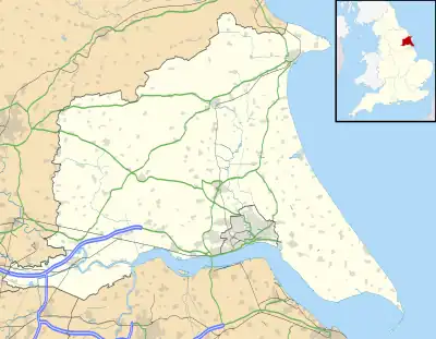
 Towthorpe Location within the East Riding of Yorkshire | |
| OS grid reference | SE901629 |
| Civil parish | |
| Unitary authority | |
| Ceremonial county | |
| Region | |
| Country | England |
| Sovereign state | United Kingdom |
| Post town | DRIFFIELD |
| Postcode district | YO25 |
| Dialling code | 01377 |
| Police | Humberside |
| Fire | Humberside |
| Ambulance | Yorkshire |
| UK Parliament | |
Towthorpe is a hamlet and former civil parish, now in the parish of Fimber, in the East Riding of Yorkshire, England. It is situated in the Yorkshire Wolds just north of the B1248 road, approximately 8 miles (13 km) north-west of Driffield and 2 miles (3 km) south-west of Sledmere. In 1931 the parish had a population of 66.[1] The deserted medieval village is a scheduled monument.[2]
Governance
Towthorpe was formerly a township in the parish of Wharram-Percy,[3] in 1866 Towthorpe became a civil parish, on 1 April 1935 the parish was abolished and merged with Fimber.[4]
References
- ↑ "Population statistics Towthorpe Tn/CP through time". A Vision of Britain through Time. Retrieved 12 August 2023.
- ↑ "Towthorpe medieval settlement". Historic England. Retrieved 12 August 2023.
- ↑ "History of Towthorpe, in East Riding of Yorkshire and East Riding". A Vision of Britain through Time. Retrieved 12 August 2023.
- ↑ "Relationships and changes Towthorpe Tn/CP through time". A Vision of Britain through Time. Retrieved 12 August 2023.
- Gazetteer — A–Z of Towns Villages and Hamlets. East Riding of Yorkshire Council. 2006. p. 11.
External links
Wikimedia Commons has media related to Towthorpe.
- Towthorpe in the Domesday Book
This article is issued from Wikipedia. The text is licensed under Creative Commons - Attribution - Sharealike. Additional terms may apply for the media files.