Torralba de Ribota | |
|---|---|
 Torralba de Ribota | |
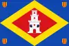 Flag 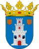 Seal | |
 Torralba de Ribota | |
| Coordinates: 41°25′N 1°41′W / 41.417°N 1.683°W | |
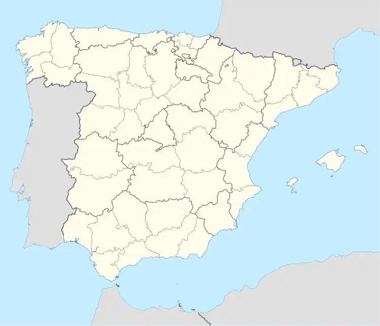
| Country | Spain |
| Autonomous community | Aragon |
| Province | Zaragoza |
| Municipality | Ribota |
| Area | |
| • Total | 32.5 km2 (12.5 sq mi) |
| Elevation | 625 m (2,051 ft) |
| Population (2018)[1] | |
| • Total | 172 |
| • Density | 5.3/km2 (14/sq mi) |
| Time zone | UTC+1 (CET) |
| • Summer (DST) | UTC+2 (CEST) |

View of Torralba de Ribota with the Sierra de la Virgen in the background
Torralba de Ribota is a municipality located in the province of Zaragoza, Aragon, Spain. According to the 2004 census (INE), the municipality had a population of 189 inhabitants.
References
- ↑ Municipal Register of Spain 2018. National Statistics Institute.
External links
Wikimedia Commons has media related to Torralba de Ribota.
This article is issued from Wikipedia. The text is licensed under Creative Commons - Attribution - Sharealike. Additional terms may apply for the media files.