| Tijtin | |
|---|---|
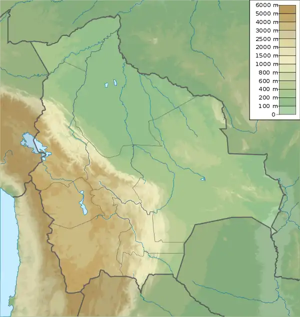 Tijtin Location in Bolivia | |
| Highest point | |
| Elevation | 4,543 m (14,905 ft)[1] |
| Coordinates | 20°40′27″S 67°40′02″W / 20.67417°S 67.66722°W |
| Geography | |
| Location | Bolivia, Potosí Department |
| Parent range | Andes |
Tijtin (Aymara tijti wart,[2] -n a suffix) is a 4,543-metre-high (14,905 ft) mountain in the Bolivian Andes. It is situated in the Potosí Department, Nor Lípez Province, Colcha "K" Municipality. Tijtin lies south of the Uyuni salt flat, north-west of the mountains Qaral and Lliphi.[1][3]
References
- 1 2 Bolivian IGM map 1:50,000 Villa Martín 6031-I
- ↑ "Diccionario Bilingüe Castellano - Aymara, Para: Tercera Edición (Corregida y aumentada) 2002". Félix Layme Pairumani. Archived from the original on September 23, 2015. Retrieved October 19, 2014.
- ↑ "COLCHA "K"". INE, Bolivia. Retrieved October 19, 2014.
Capital: Potosí | ||
| Provinces |  | |
| Municipalities (and seats) |
| |
This article is issued from Wikipedia. The text is licensed under Creative Commons - Attribution - Sharealike. Additional terms may apply for the media files.