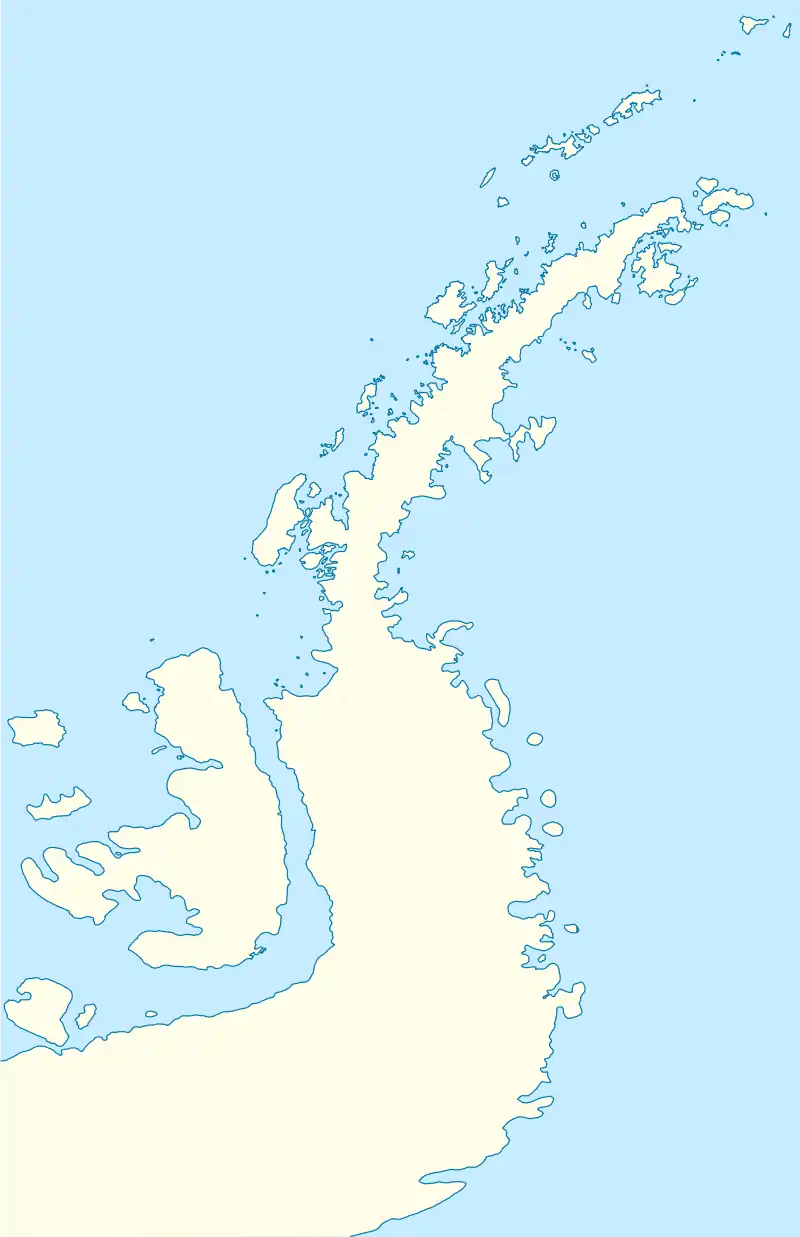
 Location of Robert Island in the South Shetland Islands | |
 Tatul Island Location of Tatul Island  Tatul Island Tatul Island (Antarctic Peninsula) | |
| Geography | |
|---|---|
| Location | Antarctica |
| Coordinates | 62°20′03″S 59°32′22″W / 62.33417°S 59.53944°W |
| Archipelago | South Shetland Islands |
| Length | 0.35 km (0.217 mi) |
| Width | 0.2 km (0.12 mi) |
| Administration | |
| Administered under the Antarctic Treaty System | |
| Demographics | |
| Population | uninhabited |

Tatul Island (Bulgarian: остров Татул, romanized: ostrov Tatul, IPA: [ˈɔstrof tɐˈtuɫ]) is a triangular ice-free island off the north coast of Robert Island in the South Shetland Islands, Antarctica. Extending 350 by 200 m (380 by 220 yd), the island emerged as a distinct geographical entity following the retreat of Robert Island's ice cap in the late 20th and early 21st century.
The feature is named after the settlement of Tatul adjacent to a major Thracian shrine complex in the Rhodope Mountains, Bulgaria related to the cult of Orpheus.
Location
The island is located 130 m (140 yd) north of Robert Island,
550 m (600 yd) south-southwest of Lientur Rocks and 950 m (1,040 yd) west-northwest of Newell Point. Bulgarian early mapping in 2009.
See also
Maps
- L.L. Ivanov. Antarctica: Livingston Island and Greenwich, Robert, Snow and Smith Islands. Scale 1:120000 topographic map. Troyan: Manfred Wörner Foundation, 2009. ISBN 978-954-92032-6-4
References
External links
- Tatul Island. SCAR Composite Antarctic Gazetteer
- Bulgarian Antarctic Gazetteer. Antarctic Place-names Commission. (details in Bulgarian, basic data in English)
External links
- Tatul Island. Copernix satellite image
This article includes information from the Antarctic Place-names Commission of Bulgaria which is used with permission.
.svg.png.webp)