Tamarindo | |
|---|---|
 The coastline in Tamarindo | |
Tamarindo district | |
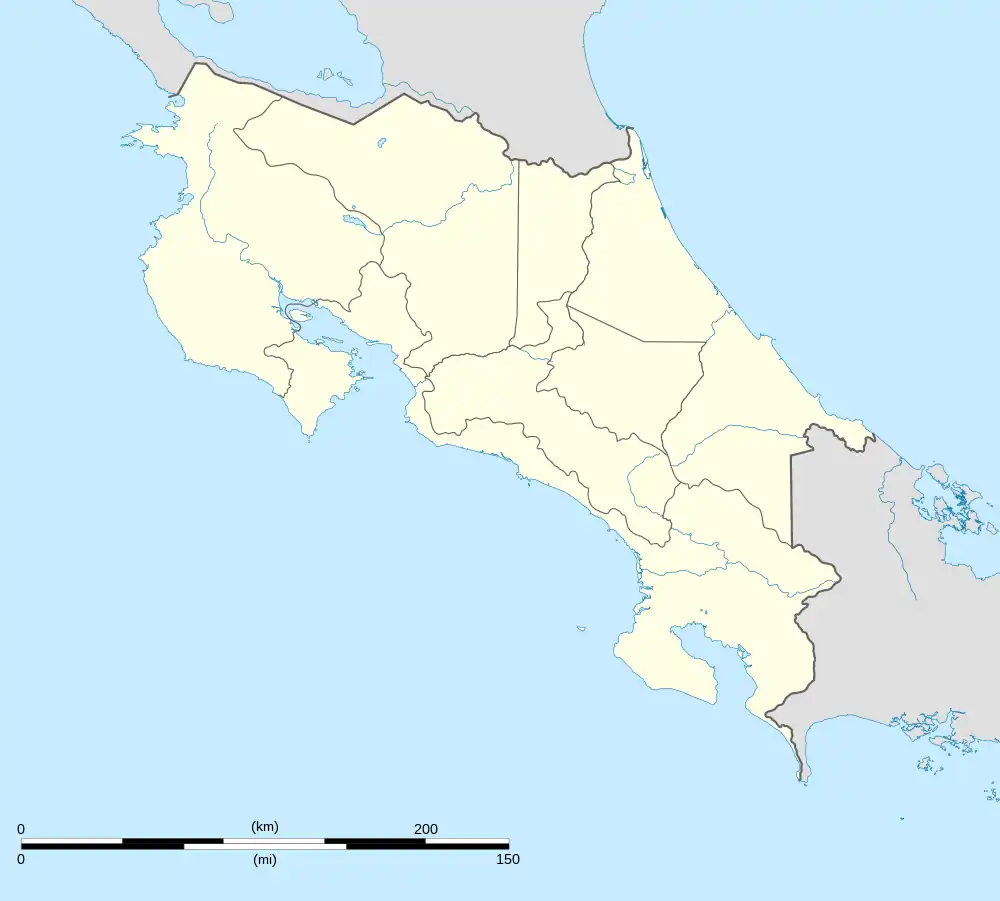 Tamarindo Tamarindo district location in Costa Rica | |
| Coordinates: 10°17′32″N 85°47′53″W / 10.2923417°N 85.798175°W | |
| Country | |
| Province | Guanacaste |
| Canton | Santa Cruz |
| Creation | 27 November 1995 |
| Area | |
| • Total | 125.86 km2 (48.59 sq mi) |
| Elevation | 27 m (89 ft) |
| Population (2011) | |
| • Total | 6,375 |
| • Density | 51/km2 (130/sq mi) |
| Time zone | UTC−06:00 |
| Postal code | 50309 |

Tamarindo is a district of the Santa Cruz canton, in the Guanacaste province of Costa Rica, located on the Nicoya Peninsula.[1][2] The town of Tamarindo is the largest developed beach town in Guanacaste. Main attractions in the area are surfing and eco-tourism.
History
Tamarindo was created on 27 November 1995 by Decreto Ejecutivo (English: Executive Order) 24820-G.[2]
Geography
Tamarindo has an area of 125.86 square kilometres (48.59 sq mi)[3] and an elevation of 27 metres (89 ft).[1]
Settlements
Besides Tamarindo, towns in the district include Villarreal, Santa Rosa, Garita Nueva, Hernández, Hucus, Flamingo and San José de Pinilla.[4]
Villareal
The nearby town of Villareal has both a public elementary school and a public high school, two full size soccer fields, multiple restaurants, two large stores, multiple hardware stores, a police station, a church, several car repair shops and a gas station.
Langosta
Just east of the centre of Tamarindo, there is a three-way intersection. To the left is the road that leads to the Banco Nacional de Costa Rica, and also a secondary exit from Tamarindo. To the right is the road that leads to Langosta.
Tourism
Beaches
The beaches in the area are generally clean and recent efforts by the government and local business organizations are proving themselves. While the beach has not regained its Blue Flag Status,[5] in September 2008 it did get a clean bill of health from the Costa Rican government. The town is trying to regain its Blue Flag Status.[6]
Fishing
Tamarindo is known for world-class fishing tourism, and a variety of captains and charters services are available. Costa Rica requires a fishing license from the INCOPESCA (Instituto Costarricense de Pesca y Acuicultura), the government agency that manages, regulates and promotes fisheries and aquaculture.[7]
Demographics
| Historical population | |||
|---|---|---|---|
| Census | Pop. | %± | |
| 2000 | 3,525 | — | |
| 2011 | 6,375 | 80.9% | |
|
Instituto Nacional de Estadística y Censos[8] |
|||
According to the 2011 census, Tamarindo had a population of 6,375.[10]
Transportation
Road transportation
The district is covered by the following road routes:
Airport
Tamarindo is the most accessible location along the northern Pacific coast of Costa Rica with an airstrip.
Liberia International Airport is the closest international airport to Tamarindo, about an hour away.
Public transportation
There is a scheduled daily bus service to and from San José, as well as a paved highway to San José with driving time of 3.5 to 6 hours depending on traffic.
Gallery

See also
References
- 1 2 "Declara oficial para efectos administrativos, la aprobación de la División Territorial Administrativa de la República N°41548-MGP". Sistema Costarricense de Información Jurídica (in Spanish). 19 March 2019. Retrieved 26 September 2020.
- 1 2 División Territorial Administrativa de la República de Costa Rica (PDF) (in Spanish). Editorial Digital de la Imprenta Nacional. 8 March 2017. ISBN 978-9977-58-477-5.
- ↑ "Área en kilómetros cuadrados, según provincia, cantón y distrito administrativo". Instituto Nacional de Estadística y Censos (in Spanish). Retrieved 26 September 2020.
- ↑ "Tamarindo". Retrieved 2015-03-28.
- ↑ "Home". blueflag.org.
- ↑ Tamarindo News
- ↑ "Reseña Histórica de INCOPESCA". Instituto Costarricense de Pesca y Acuicultura (in Spanish). 2022-10-15. Retrieved 2022-10-15.
- ↑ "Instituto Nacional de Estadística y Censos" (in Spanish).
- ↑ "Sistema de Consulta de a Bases de Datos Estadísticas". Centro Centroamericano de Población (in Spanish).
- ↑ "Censo. 2011. Población total por zona y sexo, según provincia, cantón y distrito". Instituto Nacional de Estadística y Censos (in Spanish). Retrieved 26 September 2020.
| Liberia | |
|---|---|
| Nicoya | |
| Santa Cruz | |
| Bagaces | |
| Carrillo | |
| Cañas | |
| Abangares | |
| Tilarán | |
| Nandayure | |
| La Cruz | |
| Hojancha | |