| Takalarup Western Australia | |
|---|---|
 Takalarup | |
| Coordinates | 34°36′S 118°2′E / 34.600°S 118.033°E |
| Population | 127 (SAL 2021)[1] |
| Postcode(s) | 6324 |
| Area | 441.1 km2 (170.3 sq mi) |
| Time zone | AWST (UTC+8) |
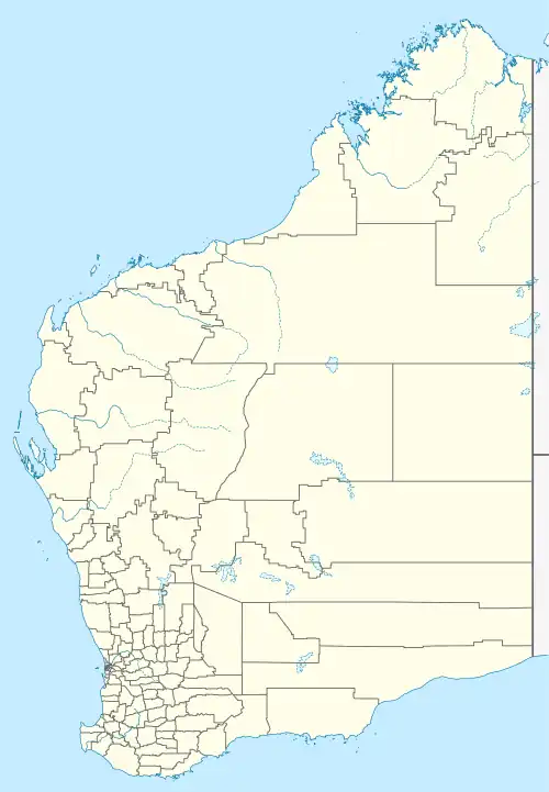
| Location |
|
| LGA(s) | Shire of Plantagenet |
| State electorate(s) | Warren-Blackwood |
| Federal division(s) | O'Connor |
Takalarup (post code 6324[2]) is a small township in the Shire of Plantagenet in the Great Southern region of Western Australia. It lies to the East of the Porongurup Range and South of the Stirling Range, being 50 kilometres (31 mi) east of the town of Mount Barker, and 66 kilometres (41 mi) north-northeast of Albany. At the 2021 census, it had a population of 127.
References
- ↑ Australian Bureau of Statistics (28 June 2022). "Takalarup (suburb and locality)". Australian Census 2021 QuickStats. Retrieved 28 June 2022.
- ↑ Takalarup Postcode, Australia Post
This article is issued from Wikipedia. The text is licensed under Creative Commons - Attribution - Sharealike. Additional terms may apply for the media files.