Tabas Rural District
Persian: دهستان طبس | |
|---|---|
 Tabas Rural District | |
| Coordinates: 36°26′17″N 57°49′53″E / 36.43806°N 57.83139°E[1] | |
| Country | |
| Province | Razavi Khorasan |
| County | Khoshab |
| District | Now Deh-e Anqolab |
| Capital | Shamabad |
| Population (2016)[2] | |
| • Total | 9,915 |
| Time zone | UTC+3:30 (IRST) |
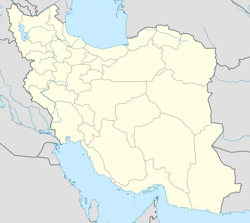
Tabas Rural District (Persian: دهستان طبس) is in Now Deh-e Anqolab District of Khoshab County, Razavi Khorasan province, Iran.[3] Its capital is the village of Shamabad.[4]
At the National Census of 2006, its population (as a part of the former Khoshab District of Sabzevar County) was 11,822 in 3,342 households.[5] There were 11,105 inhabitants in 3,413 households at the following census of 2011,[6] by which time the district had been separated from the county in the establishment of Khoshab County.[7] At the most recent census of 2016, the population of the rural district was 9,915 in 3,367 households. The largest of its 94 villages was Now Deh-e Arbab, with 3,470 people.[2]
After the census, Now Deh-e Anqolab District was established, which was divided into two rural districts.[3] The district's capital, Now Deh-e Arbab, was elevated from village status to that of a city.[8]
References
- ↑ OpenStreetMap contributors (3 May 2023). "Tabas Rural District (Khoshab County)" (Map). OpenStreetMap. Retrieved 3 May 2023.
- 1 2 "Census of the Islamic Republic of Iran, 1395 (2016)". AMAR (in Persian). The Statistical Center of Iran. p. 09. Archived from the original (Excel) on 2 April 2022. Retrieved 19 December 2022.
- 1 2 "Approval letter regarding country divisions in Khoshab County, Razavi Khorasan province". RRK (in Persian). Ministry of Interior. Archived from the original on 2 May 2023. Retrieved 2 May 2023.
- ↑ "Creation and formation of 22 rural districts including villages, farms and places in Sabzevar County under Khorasan province". Islamic Parliament Research Center (in Persian). Ministry of Interior, Board of Ministers. Archived from the original on 31 August 2012. Retrieved 5 January 2024.
- ↑ "Census of the Islamic Republic of Iran, 1385 (2006)". AMAR (in Persian). The Statistical Center of Iran. p. 09. Archived from the original (Excel) on 20 September 2011. Retrieved 25 September 2022.
- ↑ "Census of the Islamic Republic of Iran, 1390 (2011)". Syracuse University (in Persian). The Statistical Center of Iran. p. 09. Archived from the original (Excel) on 20 January 2023. Retrieved 19 December 2022.
- ↑ Rahimi, Mohammadreza (28 February 2013). "Approval letter regarding definitions and country divisions in Sabzevar County". Islamic Parliament Research Center (in Persian). Ministry of Interior, Board of Ministers. Archived from the original on 20 December 2016. Retrieved 14 November 2023.
- ↑ Fazli, Abdolreza Rahmani (27 June 1399). "The Minister of Interior agreed to turn the village of Now Deh-e Anqolab into a city". Tahlil Bazaar (in Persian). Ministry of Interior. Archived from the original on 2 May 2023. Retrieved 2 May 2023.
