| Svarthøi | |
|---|---|
| Svarthøe | |
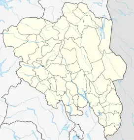 Svarthøi Location of the mountain 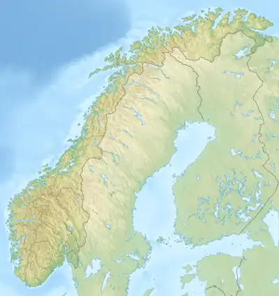 Svarthøi Svarthøi (Norway) | |
| Highest point | |
| Elevation | 1,883 m (6,178 ft)[1] |
| Prominence | 599 m (1,965 ft)[1] |
| Isolation | 4.1 km (2.5 mi)[1] |
| Coordinates | 62°19′23″N 8°19′59″E / 62.32298°N 8.33297°E[2] |
| Geography | |
| Location | Innlandet, Norway |
| Parent range | Dovrefjell |
Svarthøi is a mountain in Lesja Municipality in Innlandet county, Norway. The 1,883-metre (6,178 ft) tall mountain lies about 10 kilometres (6.2 mi) north of the village of Lesjaskog. The mountain is surrounded by several other mountains including Storhøi and Blåhøi which are about 6 kilometres (3.7 mi) to the southeast and Merratind and Vangshøi which are about 11 kilometres (6.8 mi) to the southeast.
See also
References
- 1 2 3 "Svarthøi". PeakVisor.com. Retrieved 10 April 2022.
- ↑ "Svarthøi, Lesja" (in Norwegian). yr.no. Retrieved 10 April 2022.
This article is issued from Wikipedia. The text is licensed under Creative Commons - Attribution - Sharealike. Additional terms may apply for the media files.