Svarants
Սվարանց | |
|---|---|
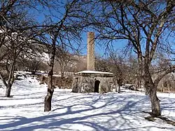 WWII monument in Svarants | |
 Svarants 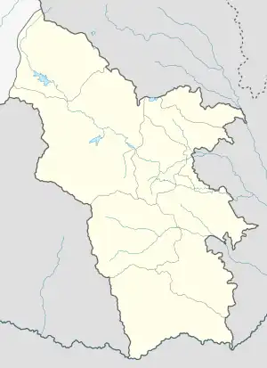 Svarants | |
| Coordinates: 39°21′39″N 46°12′37″E / 39.36083°N 46.21028°E | |
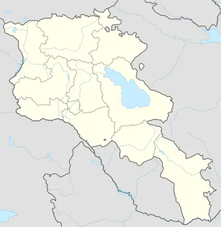
| Country | Armenia |
| Province | Syunik |
| Municipality | Tatev |
| Area | |
| • Total | 16.28 km2 (6.29 sq mi) |
| Population | |
| • Total | 264 |
| • Density | 16/km2 (42/sq mi) |
| Time zone | UTC+4 (AMT) |
| Svarants at GEOnet Names Server | |
Svarants (Armenian: Սվարանց) is a village in the Tatev Municipality of the Syunik Province in Armenia.
The village is located in the upper reaches of the Tatev River, in the valley, on the northern slopes of Aramazd Mountain, at an altitude of 1750-1800 m above sea level. The distance from Kapan, the regional center of Syunik province, is about 51 km.
Demographics
Population
The National Statistical Service of the Republic of Armenia (ARMSTAT) reported its population was 270 in 2010,[3] down from 360 at the 2001 census.[4]
References
- ↑ "Syunik regional e-Governance System" (in Armenian). Syunik Province provincial government. Click on link entitled "Համայնքներ" (community) and search for the place by Armenian name.
- ↑ Statistical Committee of Armenia. "The results of the 2011 Population Census of the Republic of Armenia" (PDF).
- ↑ "Marzes of Armenia and Yerevan City in Figures, 2010" (PDF). Statistical Committee of Armenia.
- ↑ Report of the results of the 2001 Armenian Census, Statistical Committee of Armenia

This article is issued from Wikipedia. The text is licensed under Creative Commons - Attribution - Sharealike. Additional terms may apply for the media files.