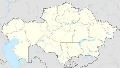
Stepnogorsk
Степногорск | |
|---|---|
 | |
 Stepnogorsk Location in Kazakhstan | |
| Coordinates: 52°20′59″N 71°53′24″E / 52.34972°N 71.89000°E | |
| Country | Kazakhstan |
| Region | Akmola Region |
| Government | |
| • Type | Mayor-council government |
| • Mayor | Kairzhanov Alpysbay |
| Population (2009) | |
| • Total | 46,712 |
| Time zone | UTC+6 (Omsk Time) |
Stepnogorsk (Kazakh: Степногорск, romanized: Stepnogorsk; Russian: Степногорск) is a town in Akmola Region, Kazakhstan.
History
Stepnogorsk was established in 1959, and has been a town since 1964. It began as a closed town with code names Tselinograd-25 (Russian: Целиноград-25), Makinsk-2 (Russian: Макинск-2). The town is known as a nuclear and biochemical site,[1] which was known as the Stepnogorsk Scientific and Technical Institute for Microbiology.
Population
46,712 (2009 Census results);[2] 47,372 (1999 Census results).[2]
Climate
| Climate data for Stepnogorsk (1991–2020) | |||||||||||||
|---|---|---|---|---|---|---|---|---|---|---|---|---|---|
| Month | Jan | Feb | Mar | Apr | May | Jun | Jul | Aug | Sep | Oct | Nov | Dec | Year |
| Mean daily maximum °C (°F) | −11.1 (12.0) |
−9.5 (14.9) |
−2.0 (28.4) |
11.9 (53.4) |
20.2 (68.4) |
25.1 (77.2) |
26.2 (79.2) |
24.7 (76.5) |
18.3 (64.9) |
9.9 (49.8) |
−2.1 (28.2) |
−8.7 (16.3) |
8.6 (47.4) |
| Daily mean °C (°F) | −15.6 (3.9) |
−14.3 (6.3) |
−6.9 (19.6) |
5.3 (41.5) |
13.0 (55.4) |
18.4 (65.1) |
19.7 (67.5) |
17.9 (64.2) |
11.5 (52.7) |
4.2 (39.6) |
−6.3 (20.7) |
−12.8 (9.0) |
2.8 (37.1) |
| Mean daily minimum °C (°F) | −20.1 (−4.2) |
−18.9 (−2.0) |
−11.6 (11.1) |
−0.7 (30.7) |
5.7 (42.3) |
11.1 (52.0) |
13.1 (55.6) |
11.1 (52.0) |
5.1 (41.2) |
−0.8 (30.6) |
−10.2 (13.6) |
−17.1 (1.2) |
−2.8 (27.0) |
| Average precipitation mm (inches) | 12.5 (0.49) |
12.8 (0.50) |
14.2 (0.56) |
21.8 (0.86) |
31.2 (1.23) |
45.2 (1.78) |
56.0 (2.20) |
37.9 (1.49) |
21.0 (0.83) |
22.1 (0.87) |
20.6 (0.81) |
16.3 (0.64) |
311.6 (12.26) |
| Average precipitation days (≥ 1.0 mm) | 4.1 | 3.7 | 3.9 | 5.2 | 6.3 | 7.6 | 8.5 | 6.5 | 4.4 | 5.2 | 5.3 | 5.1 | 65.8 |
| Source: World Meteorological Organization,[3] | |||||||||||||
References
- ↑ Report includes interview with a microbiologist who "ran a huge bioweapons production plant in Stepnogorsk"
- 1 2 "Население Республики Казахстан" [Population of the Republic of Kazakhstan] (in Russian). Департамент социальной и демографической статистики. Retrieved 8 December 2013.
- ↑ "World Meteorological Organization Climate Normals for 1991–2020". World Meteorological Organization. Retrieved 2 August 2023.
External links
Wikimedia Commons has media related to Stepnogorsk.
- STEPNOGORSK Online - Unofficial web site since 1999 mirror (in Russian)
- Advertising and Information Portal town Stepnogorsk Kazakhstan (in Russian)
52°20′59″N 71°53′24″E / 52.34972°N 71.89000°E
This article is issued from Wikipedia. The text is licensed under Creative Commons - Attribution - Sharealike. Additional terms may apply for the media files.
