| South Muskham | |
|---|---|
 | |
 South Muskham Location within Nottinghamshire | |
| Population | 494 |
| OS grid reference | SK789572 |
| Civil parish |
|
| District | |
| Shire county | |
| Region | |
| Country | England |
| Sovereign state | United Kingdom |
| Post town | NEWARK |
| Postcode district | NG23 |
| Dialling code | 01636 |
| Police | Nottinghamshire |
| Fire | Nottinghamshire |
| Ambulance | East Midlands |
| UK Parliament | |
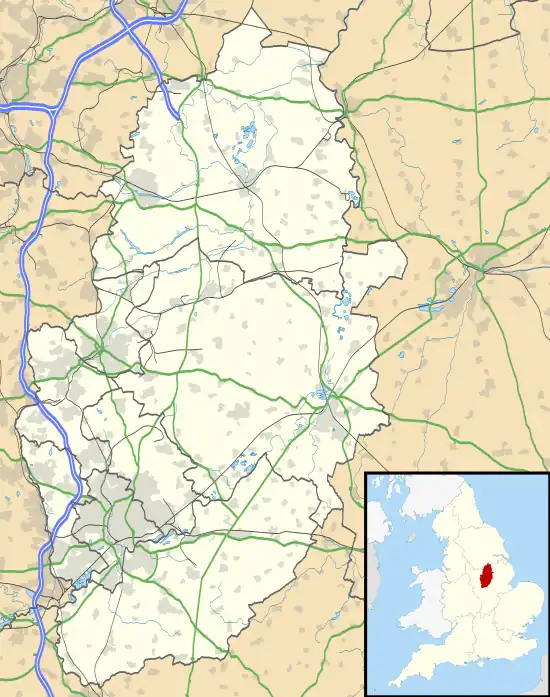
South Muskham is a village and civil parish in Nottinghamshire, England, close to the border with Lincolnshire. It is located west of the River Trent and the A1 road, 2 miles (3 km) north of Newark-upon-Trent. The parish includes the hamlet of Little Carlton. The population of the parish was 494 in the 2011 census.[1]
The village lies on the historic route of the A1 Great North Road. When the Newark Bypass was built in 1964, the old Great North Road through the village became the A6065. In 1989 the road south of the village became part of the A616, and the road through the village became the B6325. South of the village the old Great North Road passes over a causeway built in 1770 by John Smeaton,[2] and then crosses the River Trent at Muskham Bridge.
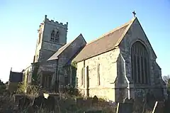
St Wilfrid's Church is a Grade I listed building. Parts of the church date back to the 13th century.[3]
See also
References
- ↑ Neighbourhood statistics, 2011 census
- ↑ Historic England. "Details from listed building database (1045946)". National Heritage List for England. Retrieved 11 February 2015.
- ↑ Historic England. "Details from listed building database (1179422)". National Heritage List for England. Retrieved 11 February 2015.
External links
![]() Media related to South Muskham at Wikimedia Commons
Media related to South Muskham at Wikimedia Commons