Sirama | |
|---|---|
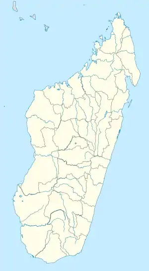 Sirama Location in Madagascar | |
| Coordinates: 13°06′S 48°56′E / 13.100°S 48.933°E | |
| Country | |
| Region | Diana |
| District | Ambilobe |
| Elevation | 18 m (59 ft) |
| Population (2018)Census | |
| • Total | 22,966 |
| Time zone | UTC3 (EAT) |
| Postal code | 204 |
Sirama is a municipality in Madagascar. It belongs to the district of Ambilobe, which is a part of Diana Region.
The municipality was named after the sugar factory with the same name: Sirama that has its seat in the town. It is situated at the Mahavavy River, not far from its former port Antsohimbondrona (formerly called: Port Saint-Louis).
Roads
The provincial road 20D connects Sirama to: Antsohimbondrona - Sirama - Ambilobe.
References
| Ambanja (24) - 203 |
|  |
|---|---|---|
| Ambilobe (15) - 204 | ||
| Antsiranana (Diego Suarez) (1) - 201 | ||
| Antsiranana II (22) - 202 |
| |
| Nosy Be (5) - 207 |
| |
5 districts; 51 communes | ||
This article is issued from Wikipedia. The text is licensed under Creative Commons - Attribution - Sharealike. Additional terms may apply for the media files.