Sipe Sipe Municipality | |
|---|---|
Municipality | |
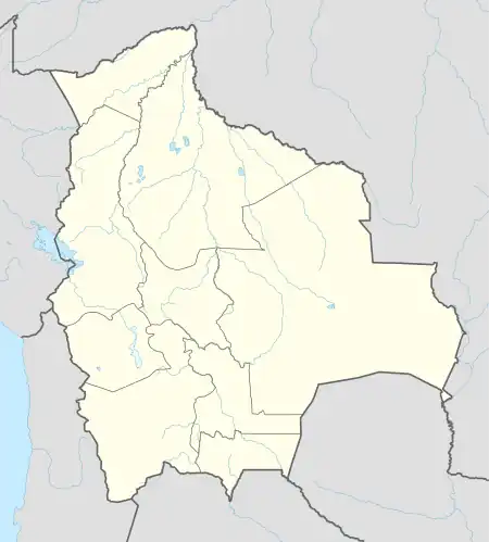
 Sipe Sipe Municipality Location of the Sipe Sipe Municipality within Bolivia | |
| Coordinates: 17°29′0″S 66°21′0″W / 17.48333°S 66.35000°W | |
| Country | |
| Department | Cochabamba Department |
| Province | Quillacollo Province |
| Seat | Sipe Sipe |
| Government | |
| • Mayor | Valerio Cartagena Escobar (2007) |
| • President | Felicidad Guzmán Argote (2007) |
| Population (2001) | |
| • Total | 31,337 |
| Time zone | UTC-4 (BOT) |
Sipe Sipe Municipality is the second municipal section of the Quillacollo Province in the Cochabamba Department, Bolivia. Its seat is Sipe Sipe. At the time of census 2001 the municipality had 31,337 inhabitants.[1]
Geography
Some of the highest mountains of the municipality are listed below:[2][3]
- Allqamari
- Asir Qullu
- Atuq Wachana
- Ch'uñawi
- Inka Laqaya
- Jalsuri
- Mamani Punta
- Nasa Q'ara
- Pichaqani
- Puka Waka
- P'ukru Urqu
- Qiñwa Q'asa
- Qiñwani
- Q'ara Apachita
- Rumi Q'asa
- Tikrasqa
- Turi Rumi
- Wila Wila
- Wisk'achani
- Yarita Punta
- Yuraq Q'asa
- Yuraq Yaku
Subdivision
Sipe Sipe Municipality is divided into three cantons.
| Kanton | Inhabitants (2001) [4] | Seat | Inhabitants (2001) |
|---|---|---|---|
| Sipe Sipe Canton | 16,554 | Sipe Sipe | 3,134 |
| Itapaya Canton | 6,496 | Itapaya | 700 |
| Mallco Rancho Canton | 8,287 | Mallco Rancho | 1,171 |
See also
References
- ↑ (in Spanish) Instituto Nacional de Estadística Archived 2009-10-27 at the Wayback Machine
- ↑ Bolivian IGM map 1:50,000 Quillacollo 6341-IV
- ↑ "Sipe Sipe". INE, Bolivia. Retrieved March 28, 2016.
- ↑ (in Spanish) Instituto Nacional de Estadística Archived 2009-10-27 at the Wayback Machine
This article is issued from Wikipedia. The text is licensed under Creative Commons - Attribution - Sharealike. Additional terms may apply for the media files.
