| Santoshgad Fort | |
|---|---|
संतोषगड | |
| Satara District, Maharashtra, India | |
 Santoshgad Fort | |
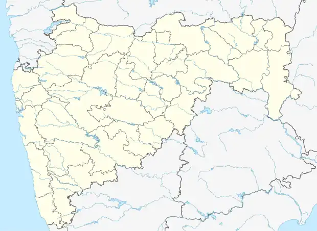
| Coordinates | 17°51′29″N 74°19′16″E / 17.858°N 74.321°E |
| Height | 884m (2900 ft) |
| Site information | |
| Owner | |
| Open to the public | Yes |
Santoshgad (also referred to as Tathavade, the name of the closest village) is a fort in Phaltan taluka of Satara district in Maharashtra, India. Santoshgad hill fort lies in the north-west corner of the Phaltan taluka, about 12 miles (19 km) south-west of Phaltan.[1]
See also
References
External links
- A description of the fort from the Maharashtra state government gazetteer.
Satara district topics | ||
|---|---|---|
| History |
| .svg.png.webp) |
| Battles | ||
| Rivers | ||
| Dams | ||
| Lakes |
| |
| Ghats | ||
| Caves | ||
| Cities and towns | ||
| Villages | ||
| Places to see | ||
| Monuments | ||
| Transport | ||
| Education | ||
| Lok Sabha constituencies | ||
| Vidhan Sabha constituencies | ||
| Culture | ||
This article is issued from Wikipedia. The text is licensed under Creative Commons - Attribution - Sharealike. Additional terms may apply for the media files.