Sanchonuño | |
|---|---|
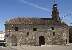 Parish church of Saint Thomas, built in the 16th century. | |
 Flag  Seal | |
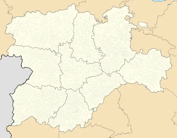 Sanchonuño Location in Spain. 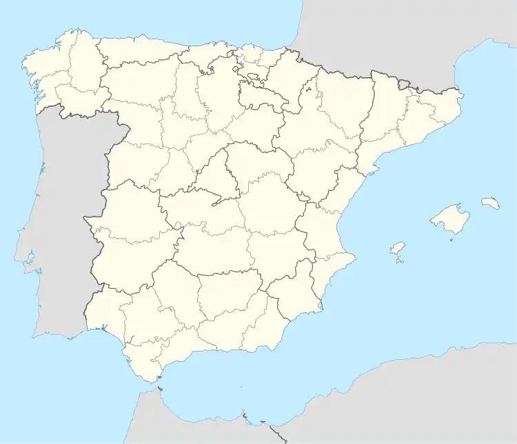 Sanchonuño Sanchonuño (Spain) | |
| Coordinates: 41°19′24″N 4°18′18″W / 41.32333°N 4.30500°W | |
| Country | |
| Autonomous community | |
| Province | |
| Municipality | Sanchonuño |
| Area | |
| • Total | 29.27 km2 (11.30 sq mi) |
| Elevation | 802 m (2,631 ft) |
| Population (2018)[1] | |
| • Total | 930 |
| • Density | 32/km2 (82/sq mi) |
| Time zone | UTC+1 (CET) |
| • Summer (DST) | UTC+2 (CEST) |
| Website | Official website |
Sanchonuño is a municipality located in the province of Segovia, Castile and León, Spain. According to the 2004 census (INE), the municipality has a population of 824 inhabitants.
References
- ↑ Municipal Register of Spain 2018. National Statistics Institute.
This article is issued from Wikipedia. The text is licensed under Creative Commons - Attribution - Sharealike. Additional terms may apply for the media files.