Sanana | |
|---|---|
 Great Mosque of Sanana | |
| Coordinates: 2°03′16″S 125°58′31″E / 2.0544588°S 125.9754028°E | |
| Country | |
| Region | Maluku |
| Province | |
| Regency | Sula Islands Regency |
| Area | |
| • Total | 157.36 km2 (60.76 sq mi) |
| Population (mid 2022 estimate) | |
| • Total | 32,831 |
| • Density | 210/km2 (540/sq mi) |
| [1] | |
| Time zone | UTC+9 (Indonesia Eastern Standard Time) |
| Postcode | 997795 |
| Area code | (+62) 921 |
| Villages | 11 |
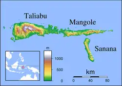
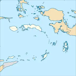
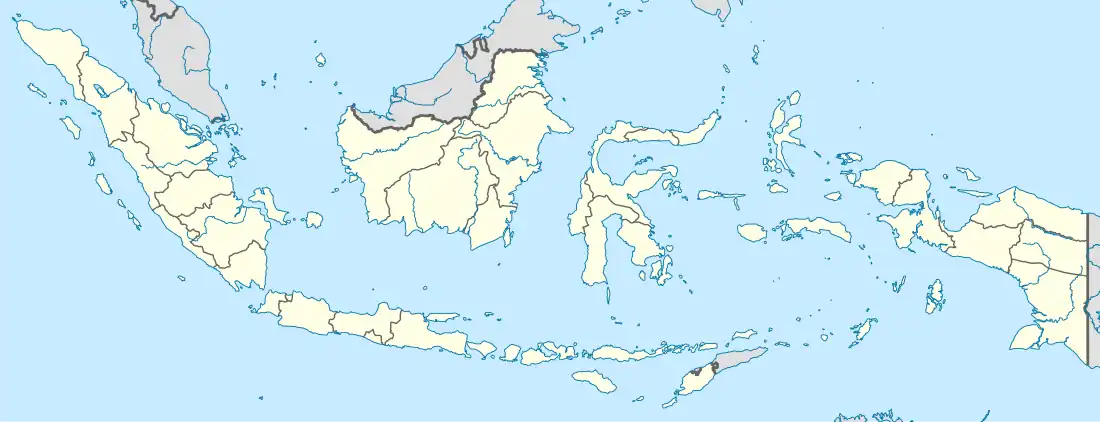
Sanana is a town and administrative center of Sula Islands Regency, North Maluku, Indonesia. This town is located on Sulabesi Island (formerly called Sanana Island).
Villages
Sanana consists of 11 villages (Kelurahan or Desa) namely:
- Fagudu
- Falahu
- Fatcei
- Fogi
- Mangon
- Pastina
- Umaloya
- Wai Ipa
- Waibau
- Waihama
- Wailau
References
- ↑ "Badan Pusat Statistik Kabupaten Kepulauan Sula" (in Indonesian).
External links
Wikimedia Commons has media related to Sanana.
This article is issued from Wikipedia. The text is licensed under Creative Commons - Attribution - Sharealike. Additional terms may apply for the media files.