San Antonio de Pahua | |
|---|---|
| Coordinates: 6°17′14.64″N 76°45′43.2″W / 6.2874000°N 76.762000°W | |
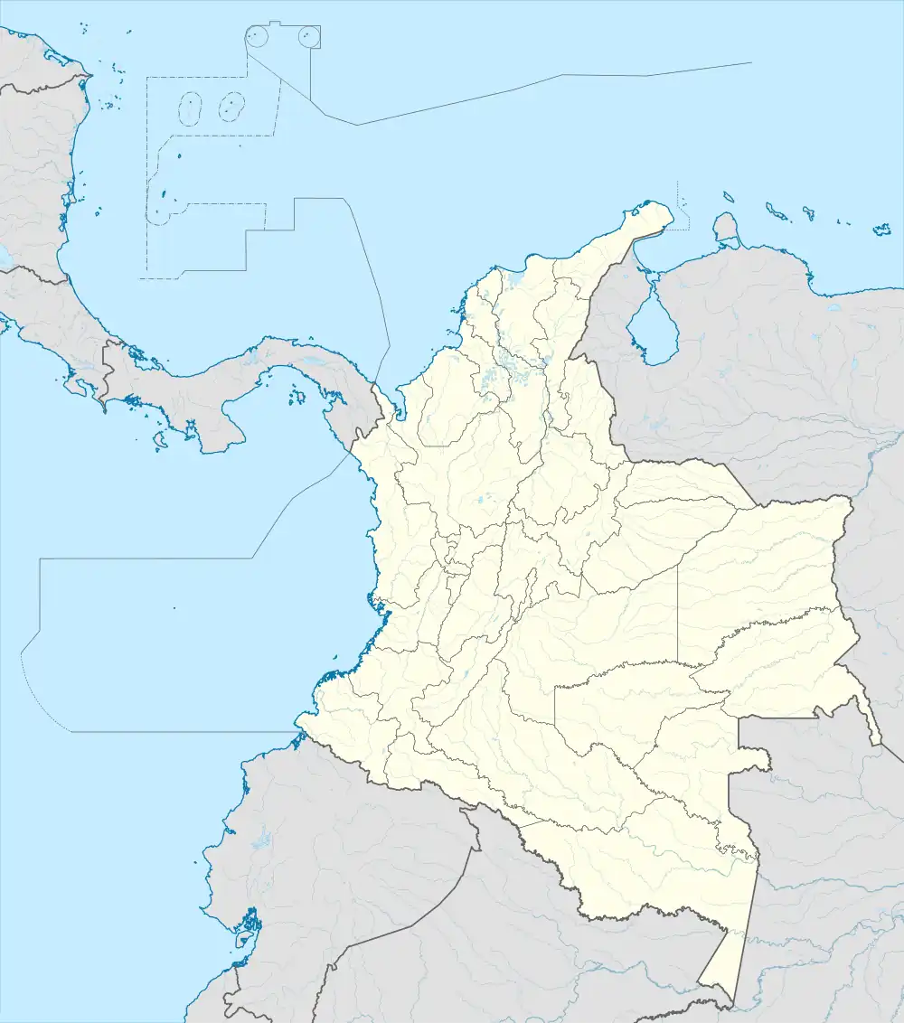
| Country | |
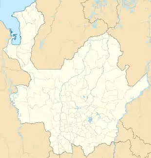
| Department | Antioquia |
| Municipality | Vigía del Fuerte |
| Elevation | 62 ft (19 m) |
| Population (2005) | |
| • Total | 1,059 [1] |
| Time zone | UTC-5 (Colombia Standard Time) |
San Antonio de Padua is a village in Vigía del Fuerte Municipality, Antioquia Department in Colombia. It is surrounded by a dense tropical rainforest.
Climate
San Antonio de Padua has a very wet tropical rainforest climate (Af). It is the wettest place in the department of Antioquia.
| Climate data for San Antonio de Padua | |||||||||||||
|---|---|---|---|---|---|---|---|---|---|---|---|---|---|
| Month | Jan | Feb | Mar | Apr | May | Jun | Jul | Aug | Sep | Oct | Nov | Dec | Year |
| Mean daily maximum °C (°F) | 30.3 (86.5) |
30.3 (86.5) |
30.8 (87.4) |
30.5 (86.9) |
29.8 (85.6) |
29.9 (85.8) |
29.9 (85.8) |
29.9 (85.8) |
29.4 (84.9) |
29.0 (84.2) |
29.3 (84.7) |
29.8 (85.6) |
29.9 (85.8) |
| Daily mean °C (°F) | 26.0 (78.8) |
26.1 (79.0) |
26.6 (79.9) |
26.4 (79.5) |
26.1 (79.0) |
26.1 (79.0) |
26.0 (78.8) |
26.1 (79.0) |
25.9 (78.6) |
25.4 (77.7) |
25.6 (78.1) |
26.0 (78.8) |
26.0 (78.9) |
| Mean daily minimum °C (°F) | 21.8 (71.2) |
22.0 (71.6) |
22.4 (72.3) |
22.4 (72.3) |
22.4 (72.3) |
22.3 (72.1) |
22.2 (72.0) |
22.3 (72.1) |
22.4 (72.3) |
21.9 (71.4) |
21.9 (71.4) |
22.2 (72.0) |
22.2 (71.9) |
| Average rainfall mm (inches) | 388 (15.3) |
356 (14.0) |
360 (14.2) |
696 (27.4) |
641 (25.2) |
583 (23.0) |
687 (27.0) |
606 (23.9) |
483 (19.0) |
532 (20.9) |
506 (19.9) |
487 (19.2) |
6,325 (249) |
References
This article is issued from Wikipedia. The text is licensed under Creative Commons - Attribution - Sharealike. Additional terms may apply for the media files.