Saipirú Airport Saipura Airport | |||||||||||
|---|---|---|---|---|---|---|---|---|---|---|---|
| Summary | |||||||||||
| Airport type | Public | ||||||||||
| Serves | Saipirú station | ||||||||||
| Elevation AMSL | 2,039 ft / 621 m | ||||||||||
| Coordinates | 19°23′45″S 63°04′20″W / 19.39583°S 63.07222°W | ||||||||||
| Map | |||||||||||
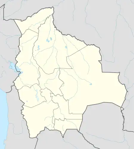 SLSS Location of Saipirú Airport in Bolivia | |||||||||||
| Runways | |||||||||||
| |||||||||||
Saipirú Airport (ICAO: SLSS) is a public use airstrip serving the natural gas pipeline facility at Saipirú in the Santa Cruz Department of Bolivia.
See also
References
- ↑ Airport record for Saipura Airport at Landings.com. Retrieved 2013-08-21
- ↑ Google (2013-09-10). "location of Saipirú Airport" (Map). Google Maps. Google. Retrieved 2013-09-10.
External links
- OpenStreetMap - Saipirú
- Airport information for SLSS at Great Circle Mapper.
This article is issued from Wikipedia. The text is licensed under Creative Commons - Attribution - Sharealike. Additional terms may apply for the media files.