Saint-Sornin | |
|---|---|
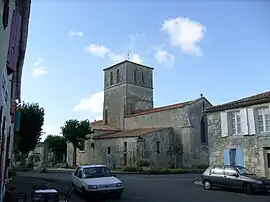 The church of Saint-Saturnin in Saint-Sornin | |
Location of Saint-Sornin | |
 Saint-Sornin 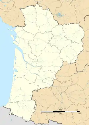 Saint-Sornin | |
| Coordinates: 45°46′10″N 0°58′40″W / 45.7694°N 0.9778°W | |
| Country | France |
| Region | Nouvelle-Aquitaine |
| Department | Charente-Maritime |
| Arrondissement | Rochefort |
| Canton | Marennes |
| Government | |
| • Mayor (2020–2026) | Joël Papineau[1] |
| Area 1 | 13.49 km2 (5.21 sq mi) |
| Population | 424 |
| • Density | 31/km2 (81/sq mi) |
| Time zone | UTC+01:00 (CET) |
| • Summer (DST) | UTC+02:00 (CEST) |
| INSEE/Postal code | 17406 /17600 |
| Elevation | 0–31 m (0–102 ft) (avg. 15 m or 49 ft) |
| 1 French Land Register data, which excludes lakes, ponds, glaciers > 1 km2 (0.386 sq mi or 247 acres) and river estuaries. | |
Saint-Sornin (French pronunciation: [sɛ̃ sɔʁnɛ̃]) is a commune in the Charente-Maritime department in southwestern France.
Saint Sornin is just off the main road between Saintes and Marennes. There is only a bar/cafe and a bakery in the village, with the closest shops in Marennes. There is a small campsite just outside the village on the road to Brue. The road to Brue is a dead end, but there are some old ruins and a small bird life museum at the end of the road.
Population
| Year | Pop. | ±% p.a. |
|---|---|---|
| 1968 | 316 | — |
| 1975 | 344 | +1.22% |
| 1982 | 310 | −1.48% |
| 1990 | 322 | +0.48% |
| 1999 | 328 | +0.21% |
| 2009 | 303 | −0.79% |
| 2014 | 347 | +2.75% |
| 2020 | 417 | +3.11% |
| Source: INSEE[3] | ||
See also
References
- ↑ "Répertoire national des élus: les maires". data.gouv.fr, Plateforme ouverte des données publiques françaises (in French). 9 August 2021.
- ↑ "Populations légales 2021". The National Institute of Statistics and Economic Studies. 28 December 2023.
- ↑ Population en historique depuis 1968, INSEE
External links
 Media related to Saint-Sornin (Charente-Maritime) at Wikimedia Commons
This article is issued from Wikipedia. The text is licensed under Creative Commons - Attribution - Sharealike. Additional terms may apply for the media files.