Saint-Jules | |
|---|---|
 St-Jules' Church | |
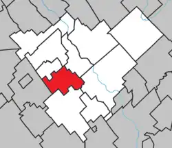
 Location within Beauce-Centre RCM. | |
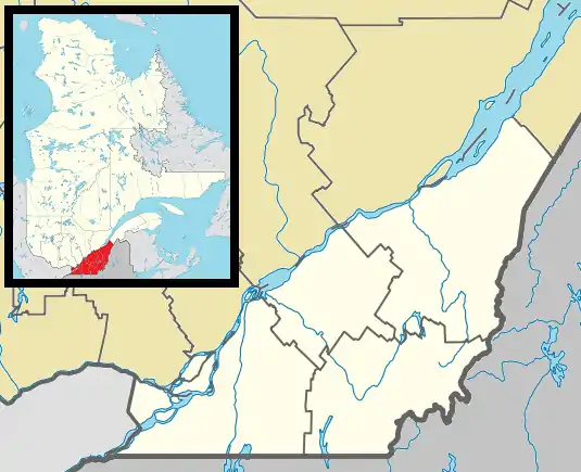
 Saint-Jules Location in southern Quebec. | |
| Coordinates: 46°13′N 70°57′W / 46.217°N 70.950°W[1] | |
| Country | |
| Province | |
| Region | Chaudière-Appalaches |
| RCM | Beauce-Centre |
| Constituted | May 28, 1919 |
| Named for | Pope Julius I[1] |
| Government | |
| • Mayor | Ghislaine Doyon |
| • Federal riding | Beauce |
| • Prov. riding | Beauce-Nord |
| Area | |
| • Total | 55.70 km2 (21.51 sq mi) |
| • Land | 55.73 km2 (21.52 sq mi) |
| There is an apparent contradiction between two authoritative sources | |
| Population (2021)[3] | |
| • Total | 547 |
| • Density | 9.8/km2 (25/sq mi) |
| • Pop 2016-2021 | |
| • Dwellings | 215 |
| Time zone | UTC−5 (EST) |
| • Summer (DST) | UTC−4 (EDT) |
| Postal code(s) | |
| Area code(s) | 418 and 581 |
| Highways | No major routes |
| Website | www |
Saint-Jules is a parish municipality in the Beauce-Centre Regional County Municipality in the Chaudière-Appalaches region of Quebec, Canada. Its population was 547 as of the Canada 2021 Census. It is named after Pope Julius I.
Demographics
In the 2021 Census of Population conducted by Statistics Canada, Saint-Jules had a population of 547 living in 204 of its 215 total private dwellings, a change of 1.5% from its 2016 population of 539. With a land area of 55.73 km2 (21.52 sq mi), it had a population density of 9.8/km2 (25.4/sq mi) in 2021.[4]
Population
Population trend:[5]
| Census | Population | Change (%) |
|---|---|---|
| 2021 | 547 | |
| 2016 | 539 | |
| 2011 | 573 | |
| 2006 | 534 | |
| 2001 | 535 | |
| 1996 | 537 | |
| 1991 | 558 | |
| 1986 | 572 | |
| 1981 | 613 | |
| 1976 | 651 | |
| 1971 | 768 | |
| 1966 | 812 | |
| 1961 | 811 | |
| 1956 | 870 | |
| 1951 | 797 | |
| 1941 | 785 | |
| 1931 | 619 | |
| 1921 | 591 |
Notable people
- Janvier Grondin, Coalition Avenir Québec politician
- Placide Poulin, businessman
References
- 1 2 "Banque de noms de lieux du Québec: Reference number 57015". toponymie.gouv.qc.ca (in French). Commission de toponymie du Québec.
- 1 2 "Répertoire des municipalités: Geographic code 27055". www.mamh.gouv.qc.ca (in French). Ministère des Affaires municipales et de l'Habitation.
- 1 2 "Census Profile, 2021 Census, Statistics Canada - Validation Error".
- ↑ "Population and dwelling counts: Canada, provinces and territories, and census subdivisions (municipalities), Quebec". Statistics Canada. February 9, 2022. Retrieved August 29, 2022.
- ↑ Statistics Canada: 1996, 2001, 2006, 2011, 2016, 2021 census
- Commission de toponymie du Québec
- Ministère des Affaires municipales, des Régions et de l'Occupation du territoire
This article is issued from Wikipedia. The text is licensed under Creative Commons - Attribution - Sharealike. Additional terms may apply for the media files.