Saint-Cyr-en-Pail | |
|---|---|
 Coat of arms | |
Location of Saint-Cyr-en-Pail | |
 Saint-Cyr-en-Pail 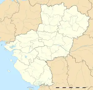 Saint-Cyr-en-Pail | |
| Coordinates: 48°26′30″N 0°14′35″W / 48.4417°N 0.2431°W | |
| Country | France |
| Region | Pays de la Loire |
| Department | Mayenne |
| Arrondissement | Mayenne |
| Canton | Villaines-la-Juhel |
| Intercommunality | CC du Mont des Avaloirs |
| Government | |
| • Mayor (2020–2026) | Jean-Luc Lecourt[1] |
| Area 1 | 20.65 km2 (7.97 sq mi) |
| Population | 499 |
| • Density | 24/km2 (63/sq mi) |
| Time zone | UTC+01:00 (CET) |
| • Summer (DST) | UTC+02:00 (CEST) |
| INSEE/Postal code | 53208 /53140 |
| Elevation | 179–376 m (587–1,234 ft) (avg. 294 m or 965 ft) |
| 1 French Land Register data, which excludes lakes, ponds, glaciers > 1 km2 (0.386 sq mi or 247 acres) and river estuaries. | |
Saint-Cyr-en-Pail (French pronunciation: [sɛ̃ siʁ ɑ̃ paj]) is a commune in the Mayenne department in north-western France.[3]
See also
References
- ↑ "Répertoire national des élus: les maires". data.gouv.fr, Plateforme ouverte des données publiques françaises (in French). 2 December 2020.
- ↑ "Populations légales 2021". The National Institute of Statistics and Economic Studies. 28 December 2023.
- ↑ INSEE commune file
Wikimedia Commons has media related to Saint-Cyr-en-Pail.
This article is issued from Wikipedia. The text is licensed under Creative Commons - Attribution - Sharealike. Additional terms may apply for the media files.