Saint-Bauzile | |
|---|---|
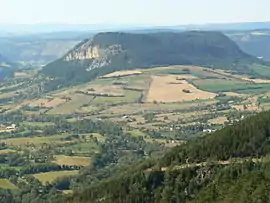 The Truc de Balduc seen from Mont Mimat | |
Location of Saint-Bauzile | |
 Saint-Bauzile 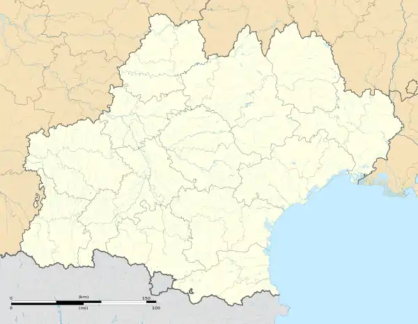 Saint-Bauzile | |
| Coordinates: 44°28′58″N 3°30′11″E / 44.4828°N 3.5031°E | |
| Country | France |
| Region | Occitania |
| Department | Lozère |
| Arrondissement | Mende |
| Canton | Saint-Étienne-du-Valdonnez |
| Intercommunality | CC Cœur de Lozère |
| Government | |
| • Mayor (2020–2026) | Didier Couderc[1] |
| Area 1 | 29.33 km2 (11.32 sq mi) |
| Population | 601 |
| • Density | 20/km2 (53/sq mi) |
| Time zone | UTC+01:00 (CET) |
| • Summer (DST) | UTC+02:00 (CEST) |
| INSEE/Postal code | 48137 /48000 |
| Elevation | 687–1,110 m (2,254–3,642 ft) (avg. 720 m or 2,360 ft) |
| 1 French Land Register data, which excludes lakes, ponds, glaciers > 1 km2 (0.386 sq mi or 247 acres) and river estuaries. | |
Saint-Bauzile is a commune in the Lozère department in southern France.[3]
See also
References
- ↑ "Répertoire national des élus: les maires" (in French). data.gouv.fr, Plateforme ouverte des données publiques françaises. 13 September 2022.
- ↑ "Populations légales 2021". The National Institute of Statistics and Economic Studies. 28 December 2023.
- ↑ INSEE commune file
Wikimedia Commons has media related to Saint-Bauzile, Lozère.
This article is issued from Wikipedia. The text is licensed under Creative Commons - Attribution - Sharealike. Additional terms may apply for the media files.