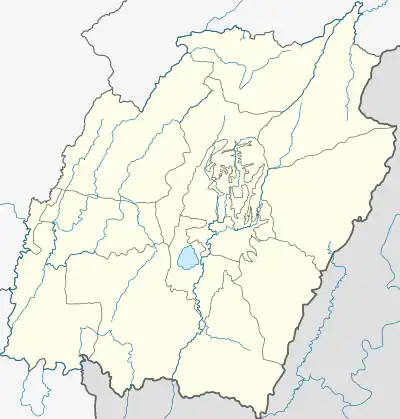
Saikul | |
|---|---|
Town | |
 Saikul Location in Manipur, India  Saikul Saikul (India) | |
| Coordinates: 25°03′37″N 94°01′42″E / 25.060154°N 94.028434°E | |
| Country | |
| State | Manipur |
| District | Kangpokpi |
| Government | |
| • Body | Sadar Hills Autonomous District Council |
| Time zone | UTC+5:30 (IST) |
| PIN | 795118 |
| Telephone code | +91385- |
| Vehicle registration | MN |
| Sex ratio | 980 (2011) |
| Literacy | 70% |
Saikul is the headquarters of Sadar Hills East subdivision and one of the principal towns under Sadar Hills Autonomous District Council in Manipur state of India.[1] It is also the 46th reserved Assembly Constituency for Scheduled Tribes of the Manipur State Legislative Assembly. The town is located at 790 meters above sea level, 40 kilometres to the north of Imphal. It lies between NH-39 and NH-150 and the river Jildung passes beside the town.[2][3]
References
- ↑ "Saikul". 2011 Census of India. Government of India. Archived from the original on 8 September 2017. Retrieved 8 September 2017.
- ↑ Village information (Saikul Block)
- ↑ Saikul Assembly Constituency Map - Maps of India
This article is issued from Wikipedia. The text is licensed under Creative Commons - Attribution - Sharealike. Additional terms may apply for the media files.