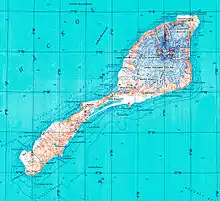
Topographic map of Jan Mayen
Rudolftoppen is a mountain on the island of Jan Mayen. It has a height of 769 m.a.s.l., and is the highest peak in the southern part of the island.[1]
References
70°53′29″N 8°52′13″W / 70.8915°N 8.8702°W
This article is issued from Wikipedia. The text is licensed under Creative Commons - Attribution - Sharealike. Additional terms may apply for the media files.