 | |
|---|---|
| Skeiða- og Hrunamannavegur | |
 | |
| Route information | |
| Length | 56 km[1] (35 mi) |
| Major junctions | |
| Southern end | |
| Northern end | |
| Location | |
| Country | Iceland |
| Highway system | |
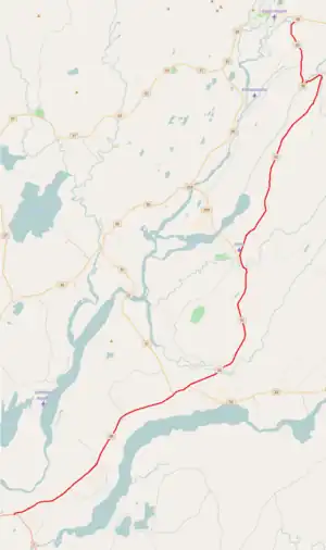
Skeiða- og Hrunamannavegur (Icelandic pronunciation: [ˈsceiːða- ɔɣ ˈr̥ʏːnaˌmannaˌvɛːɣʏr̥]) or Route 30 is a national road in the Southern Region of Iceland. It runs from Route 1 east of Þjórsá, through the village of Flúðir to the intersection of Biskupstungnabraut.
References
This article is issued from Wikipedia. The text is licensed under Creative Commons - Attribution - Sharealike. Additional terms may apply for the media files.