Rock Corral on the Barlow Road | |
 Rock Corral - Barlow Road | |
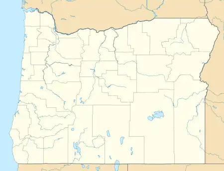 | |
| Nearest city | Brightwood, Oregon |
|---|---|
| Coordinates | 45°23′00″N 122°03′52″W / 45.38333°N 122.06444°W |
| Area | 5 acres (2.0 ha) |
| NRHP reference No. | 74001673[1] |
| Added to NRHP | December 19, 1974 |
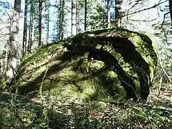
The Rock Corral on the Barlow Road is a glacial erratic, on Oregon's Barlow Road, itself a new route on the Oregon Trail.[2]
Its location
It is on the way to Marmot, where the Barlow Road then goes southwest cross the Devil's Backbone and back across the Sandy River.[3]
It is in Clackamas County, and was at the end of the Oregon Trail's most difficult, most dangerous passage over the Cascade Mountains. The Barlow Tollgate was once there.
References
- ↑ "National Register Information System". National Register of Historic Places. National Park Service. November 2, 2013.
- ↑ Pedersen, Nathan (January 1, 2022). "Barlow".
- ↑ Nathan, Pederson (January 17, 2020). "Barlow".
External links and references
This article is issued from Wikipedia. The text is licensed under Creative Commons - Attribution - Sharealike. Additional terms may apply for the media files.