Rocca Pietore | |
|---|---|
| Comune di Rocca Pietore | |
 | |
 Coat of arms | |
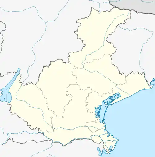
Location of Rocca Pietore | |
 Rocca Pietore Location of Rocca Pietore in Italy  Rocca Pietore Rocca Pietore (Veneto) | |
| Coordinates: 46°26′N 11°59′E / 46.433°N 11.983°E | |
| Country | Italy |
| Region | Veneto |
| Province | Belluno (BL) |
| Frazioni | Laste, Calloneghe |
| Government | |
| • Mayor | Severino Andrea De Bernardin |
| Area | |
| • Total | 73.29 km2 (28.30 sq mi) |
| Elevation | 1,143 m (3,750 ft) |
| Population (31 December 2017)[2] | |
| • Total | 1,203 |
| • Density | 16/km2 (43/sq mi) |
| Demonym | Rocchesani |
| Time zone | UTC+1 (CET) |
| • Summer (DST) | UTC+2 (CEST) |
| Postal code | 32020 |
| Dialing code | 0437 |
| Website | Official website |
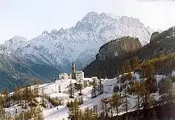
Rocca Pietore is a comune (municipality) in the Province of Belluno in the Italian region Veneto, located about 160 kilometres (99 mi) north of Venice and about 40 kilometres (25 mi) northwest of Belluno. Its frazione of Sottoguda is one of I Borghi più belli d'Italia ("The most beautiful villages of Italy").[3]
References
This article is issued from Wikipedia. The text is licensed under Creative Commons - Attribution - Sharealike. Additional terms may apply for the media files.