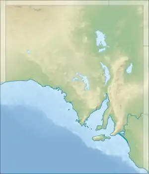
| Rilli Island Conservation Park Loxton North[1], South Australia | |
|---|---|
 Rilli Island Conservation Park | |
| Nearest town or city | Loxton[1] |
| Coordinates | 34°23′37″S 140°34′39″E / 34.3936°S 140.5775°E[2] |
| Established | 4 July 1968[3] |
| Area | 6 hectares (15 acres)[4] |
| Managing authorities | Department of Environment and Water |
| See also | Protected areas of South Australia |
Rilli Island Conservation Park is a protected area in the Australian state of South Australia located on the Riverland in the gazetted locality of Loxton North about 6.5 kilometres (4.0 mi) north-east of the Loxton town centre.[1]
The conservation park is located on Rilli Island in the Murray River adjacent to sections 63 and 64 in the cadastral unit of the Hundred of Gordon.[1][3] It was constituted under the Crown Lands Act 1929 on 4 July 1968 as a fauna conservation reserve. [3] In 1972, it was constituted as a conservation park upon the proclamation of the National Parks and Wildlife Act 1972 on 27 April 1972.[5] As of July 2016, the conservation park covered an area of 6 hectares (15 acres).[4]
In 1980, it was described as follows: [6]
A small, attractive island in the Murray River adjacent to Katarapko Game Reserve. As such may provide a safe refuge for waterbirds during open season. One of only a few island reserves on the South Australian section of the Murray River. Small sand bar island in the Murray River. Vegetation consists of Eucalyptus camaldulensis open forest over Phragmites australis reed beds and Muehlenbeckia cunninghamii.
As of 1994, it and the Kapunda Island and Media Island conservation parks have been managed in conjunction with the Murray River National Park.[7]
The conservation park is classified as an IUCN Category III protected area.[2] In 1980, it was listed on the now-defunct Register of the National Estate.[6]
See also
References
- 1 2 3 4 "Search results for 'Rili Island Conservation Park' with the following datasets selected - 'Suburbs and localities', 'Government Towns', 'Hundreds' and 'Gazetteer'". Location SA Map Viewer. South Australian Government. Retrieved 4 April 2019.
- 1 2 3 "Terrestrial Protected Areas of South Australia (refer 'DETAIL' tab )". CAPAD 2016. Australian Government, Department of the Environment (DoE). 2016. Retrieved 21 February 2018.
- 1 2 3 "CROWN LANDS ACT, 1929-1967: VARIOUS ISLANDS DEDICATED AS FAUNA CONSERVATION RESERVES" (PDF). The South Australian Government Gazette. Government of South Australia: 1–2. 4 July 1968. Retrieved 20 January 2017.
- 1 2 "Protected Areas Information System - reserve list (as of 11 July 2016)" (PDF). Department of Environment Water and Natural Resources. 11 July 2016. Retrieved 14 July 2016.
- ↑ "No. 56 of 1972 (National Parks and Wildlife Act, 1972)". The South Australian Government Gazette. Government of South Australia: 702. 27 April 1972. Retrieved 20 January 2017.
- 1 2 "Rilli Island Conservation Park – listing on the now-defunct Register of the National Estate (Place ID 7843)". Australian Heritage Database. Australian Government. 21 October 1980. Retrieved 12 April 2018.
- ↑ "Murray River National Park Management Plan (including Rilli Island, Media Island and Kapunda Island Conservation Parks)" (PDF). Department for Environment and Natural Resources. 1994. pp. vi, vii and 25. Retrieved 16 January 2015.
 This article incorporates text by Commonwealth of Australia available under the CC BY 3.0 AU licence.