Reynoldsville | |
|---|---|
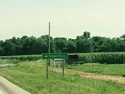
 Illinois Route 3 roadsign | |
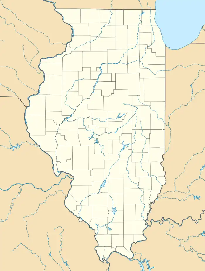
 Reynoldsville Location of Reynoldsville within Illinois  Reynoldsville Reynoldsville (the United States) | |
| Coordinates: 37°22′02″N 89°23′42″W / 37.36722°N 89.39500°W | |
| Country | United States |
| State | Illinois |
| County | Union |
| Elevation | 341 ft (104 m) |
| Time zone | UTC-6 (CST) |
| • Summer (DST) | UTC-5 (CDT) |
| Postal code | 62952 |
| Area code | 618 |
Reynoldsville is an unincorporated community in Union County, Illinois, United States. The community is along Illinois Route 3 and 146, just north of McClure and across the Mississippi River from Cape Girardeau, Missouri.

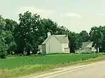
Gospel of the Kingdom church
The unincorporated community has a major railroad passing through. A fishing lake, Lyerla Lake, is just to the east. Kornthal Church from 1852 is located in the community and Old Cape Road connects with Illinois Route 127.
Notes
- ↑ "USGS detail on Newtown". Retrieved October 21, 2007.
External links
This article is issued from Wikipedia. The text is licensed under Creative Commons - Attribution - Sharealike. Additional terms may apply for the media files.