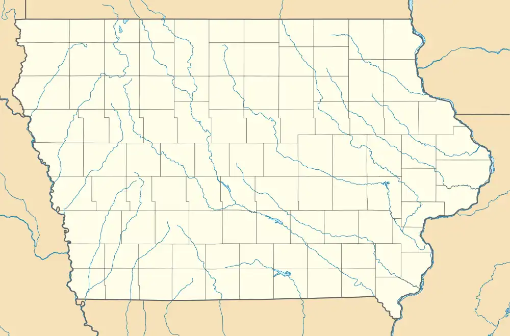
Republic, Iowa | |
|---|---|
 Republic, Iowa | |
| Coordinates: 42°57′04″N 92°23′51″W / 42.95111°N 92.39750°W | |
| Country | United States |
| State | Iowa |
| County | Chickasaw |
| Elevation | 1,102 ft (336 m) |
| Time zone | UTC-6 (Central (CST)) |
| • Summer (DST) | UTC-5 (CDT) |
| Area code | 641 |
| GNIS feature ID | 460589[1] |
Republic is an unincorporated community in southern Chickasaw County, in the U.S. state of Iowa.[1]
History

A post office was established at Republic on February 1, 1887.[2]
Republic was platted in section 20 of Richland Township, one mile east of the center of the township, and about five miles southeast of Williamstown.[3]
Republic's population was 25 in 1887,[4] and was 27 in 1902.[5]
The Republic post office was discontinued on January 31, 1914.[2] In 1915, the population of Republic was 37.[6]
Republic had been a prosperous community, but by 1919, historians were calling the community, and nearby Williamstown, a memory, stating that the heyday of these two communities was long past.[7]
In January 1945, the Republic School was destroyed in a fire. The school was replaced with a new building, said to be "the best rural school building ever built in Chickasaw County," in November 1946.[8]
As late as the 1930s, Republic had two churches.[3] In 1947, the old Methodist church was moved from the north side of the highway to the south side, combining this structure with the Disciples Building.[9] The Republic Community Church still operates.
References
- 1 2 U.S. Geological Survey Geographic Names Information System: Republic, Iowa
- 1 2 "GNIS Detail - Republic Post Office (historical)". geonames.usgs.gov. Retrieved July 31, 2021.
- 1 2 Map of Chickasaw County - The University of Iowa Libraries. W.W. Hixson and Company. 1930.
- ↑ Cram, George Franklin (1887). Cram's Universal Atlas: Geographical, Astronomical and Historical, Containing a Complete Series of Maps of Modern Geography, Illustrated by Numerous Views and Charts ; the Whole Supplemented with Valuable Statistics, Diagrams, and a Complete Gazetteer of the United States. G.F. Cram. pp. 367–369.
- ↑ Cram's Modern Atlas: The New Unrivaled New Census Edition. J. R. Gray & Company. 1902. pp. 203–207.
- ↑ Atlas of Johnson County, Iowa, 1917 :: Iowa Counties Historic Atlases. pp. 63–66.
- ↑ Fairbairn, Robert Herd (1919). "History of Chickasaw and Howard Counties, Iowa". S.J. Clarke Publishing Company. p. 304. Retrieved July 31, 2021.
- ↑ "New Republic School Building Will Be Dedicated Friday Nite". Nashua Reporter. October 30, 1946. p. 1. Retrieved July 31, 2021.
- ↑ "Improvements Planned at Meeting of Republic Church Last Sunday". Nashua Reporter. August 27, 1947. p. 1. Retrieved July 31, 2021.