Red Valley, New Jersey | |
|---|---|
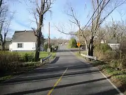 Along Red Valley Road | |
 Red Valley 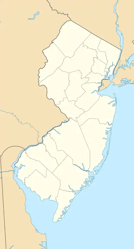 Red Valley  Red Valley | |
| Coordinates: 40°09′42″N 74°28′14″W / 40.16167°N 74.47056°W | |
| Country | |
| State | |
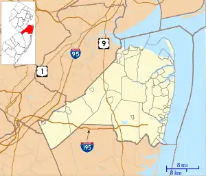
| County | Monmouth |
| Township | Upper Freehold |
| Elevation | 148 ft (45 m) |
| Time zone | UTC−05:00 (Eastern (EST)) |
| • Summer (DST) | UTC−04:00 (EDT) |
| GNIS feature ID | 879642[1] |
Red Valley is an unincorporated community located within Upper Freehold Township in Monmouth County, in the U.S. state of New Jersey.[2] The settlement is located at the intersection of County Route 526 and Red Valley Road (south) and Yellow Meetinghouse Road (north) near the township's eastern border with Millstone Township. Except for some single-family houses located along the roads in the area, the area is primarily made up of farmland (both agricultural and horse farms).[3]
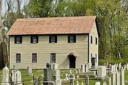
Ye Olde Yellow Meeting House and Cemetery
The Yellow Meeting House Cemetery is located in Red Valley, with several early settlers interred there.[4]
References
- 1 2 "Red Valley". Geographic Names Information System. United States Geological Survey, United States Department of the Interior.
- ↑ Locality Search, State of New Jersey. Accessed February 28, 2015.
- ↑ Google (November 28, 2015). "Aerial view of Red Valley" (Map). Google Maps. Google. Retrieved November 28, 2015.
- ↑ Henry Charlton Beck (1963). More Forgotten Towns of Southern New Jersey. Rutgers University Press. ISBN 9780813504322. Retrieved July 9, 2022.
External links
 Media related to Red Valley, New Jersey at Wikimedia Commons

This article is issued from Wikipedia. The text is licensed under Creative Commons - Attribution - Sharealike. Additional terms may apply for the media files.