Ráth Réaltóige | |
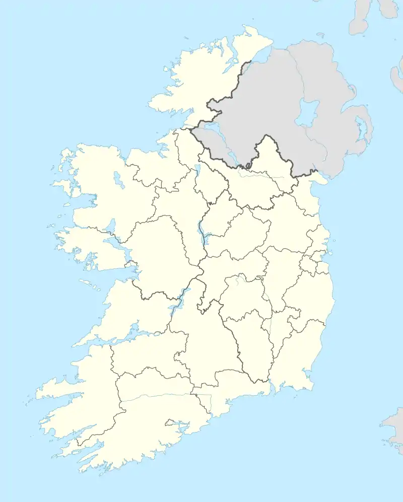 Shown within Ireland | |
| Alternative name | Realtoge Fort |
|---|---|
| Location | Realtogue, Navan County Meath, Ireland |
| Coordinates | 53°38′33″N 6°35′00″W / 53.642534°N 6.583406°W |
| Type | Ringfort |
| Area | 0.158 hectares (0.39 acres) |
| Circumference | 142 metres (466 ft) |
| History | |
| Material | earth |
| Founded | AD 500–1000 |
| Periods | Middle Ages |
| Designation | National Monument |
Realtogue Fort is a ringfort (rath) and National Monument located in County Meath, Ireland.[1]
Location
Realtogue ringfort is located about 3.5 km (2 miles) northwest of Kentstown and 1.6 km (1 mile) north of the River Nanny, a Boyne tributary.[2] A holy well (Tobermurry) lies
Description
The ringfort is an oval, measuring 49 metres (161 ft) NW-SE and 41 metres (135 ft) NE-SW, with an external fosse. There is a house site (9 x 5 m) against the inner bank at the east. There is an entrance gap, but no causeway at the southeast.[3]
References
- ↑ "Prehistoric and Early Ireland @ megalithomania.com - Realtoge Ring Fort, County Meath". megalithomania.com. Retrieved 2 December 2015.
- ↑ "Ardmulchan - one of the beautiful places of the world". mythicalireland.com. Retrieved 2 December 2015.
- ↑ "ME01212 - REALTOGE - Ringfort - rath - MeathHeritage.com". meathheritage.com. Retrieved 2 December 2015.
This article is issued from Wikipedia. The text is licensed under Creative Commons - Attribution - Sharealike. Additional terms may apply for the media files.