Raipur | |
|---|---|
Tehsil | |
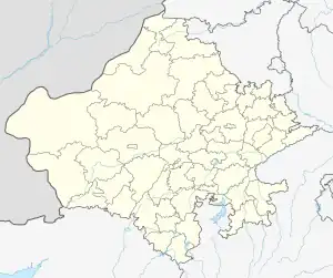
 Raipur Location in Rajasthan, India  Raipur Raipur (India) | |
| Coordinates: 24°36′34″N 76°17′50″E / 24.60944°N 76.29722°E | |
| Country | |
| State | Rajasthan |
| District | Jhalawar |
| Elevation | 329 m (1,079 ft) |
| Languages | |
| • Official | Hindi |
| Time zone | UTC+5:30 (IST) |
| Area code | 07434 |
| Vehicle registration | RJ17 |
Raipur is a Tehsil in Jhalawar district in the Indian state of Rajasthan.[1]
Geography
Raipur is located 30 kilometres (19 mi) south of the District headquarters at Jhalawar, 31 kilometres (19 mi) from Pirawa and 334 kilometres (208 mi) from the state capital at Jaipur.
It has an average elevation of 329 metres (1,079 ft).
References
- ↑ "पोर्टल, राजस्थान सरकार". jhalawar.rajasthan.gov.in.
This article is issued from Wikipedia. The text is licensed under Creative Commons - Attribution - Sharealike. Additional terms may apply for the media files.