Rainbow City, Arizona | |
|---|---|
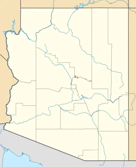
 Location of Rainbow City in Navajo County, Arizona. | |
 Rainbow City, Arizona Location in the United States | |
| Coordinates: 33°52′23″N 109°58′35″W / 33.87306°N 109.97639°W | |
| Country | United States |
| State | Arizona |
| County | Navajo |
| Area | |
| • Total | 2.18 sq mi (5.64 km2) |
| • Land | 2.18 sq mi (5.64 km2) |
| • Water | 0.00 sq mi (0.00 km2) |
| Population (2020) | |
| • Total | 1,001 |
| • Density | 459.81/sq mi (177.51/km2) |
| Time zone | UTC-7 (MST (no DST)) |
| ZIP code | 85941[2] |
| Area code | 928 |
| FIPS code | 04-58620 |
Rainbow City is a census-designated place in Navajo County, in the U.S. state of Arizona, on the Fort Apache Indian Reservation.[3] The population was 968 at the 2010 census.[4]
Demographics
| Census | Pop. | Note | %± |
|---|---|---|---|
| 2010 | 968 | — | |
| 2020 | 1,001 | 3.4% | |
| U.S. Decennial Census[5] | |||
As of the census[6] of 2010, there were 968 people, 223 households, and 192 families living in the CDP.
References
- ↑ "2020 U.S. Gazetteer Files". United States Census Bureau. Retrieved October 29, 2021.
- ↑ "Rainbow City AZ ZIP Code". zipdatamaps.com. 2023. Retrieved May 3, 2023.
- ↑ U.S. Geological Survey Geographic Names Information System: Rainbow City Census Designated Place
- ↑ "2010 Census Gazetteer Files – Places: New Mexico". U.S. Census Bureau. Retrieved February 26, 2017.
- ↑ "Census of Population and Housing". Census.gov. Retrieved June 4, 2016.
- ↑ "American FactFinder". United States Census Bureau. Archived from the original on February 13, 2020. Retrieved October 10, 2018.

This article is issued from Wikipedia. The text is licensed under Creative Commons - Attribution - Sharealike. Additional terms may apply for the media files.