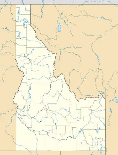
Raft River, Idaho
Yale | |
|---|---|
 Raft River Location in Idaho  Raft River Location in the United States | |
| Coordinates: 42°35′50″N 113°14′10″W / 42.59722°N 113.23611°W | |
| Country | United States |
| State | Idaho |
| County | Cassia |
| Named for | Raft River |
| Elevation | 4,213 ft (1,284 m) |
| Time zone | UTC-7 (Mountain (MST)) |
| • Summer (DST) | UTC-6 (MDT) |
| Area code(s) | 208, 986 |
| GNIS feature ID | 398387[1] |
Raft River (formerly known as Yale)[2] is an unincorporated community along the Raft River in Cassia County, Idaho, United States.[1]
Description
Raft River is located on Interstate 86/U.S. Route 30,[3] about 25 miles (40 km) southwest of American Falls. The community briefly had a post office (1878-1879) under the name Raft River Bridge.[4] The main road through the community, Yale Road, was named after the formerly community name.
See also
References
- 1 2 U.S. Geological Survey Geographic Names Information System: Raft River
- ↑ "Yale" (JPEG) (Map). usgs.gov. 1:162500. United States Geological Survey. 1973. Retrieved August 1, 2023.
- ↑ "Lake Walcott" (JPEG) (Map). usgs.gov. 1:100000. United States Geological Survey. 1994. Retrieved August 1, 2023.
- ↑ Forte, Jim. "Post Offices: Idaho, Cassia County". postalhistory.com. Las Vegas, Nevada. Retrieved August 1, 2023.
This article is issued from Wikipedia. The text is licensed under Creative Commons - Attribution - Sharealike. Additional terms may apply for the media files.