| Portland Road Queensland | |
|---|---|
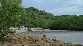 Beach at Portland Road, 2014 | |
 Portland Road | |
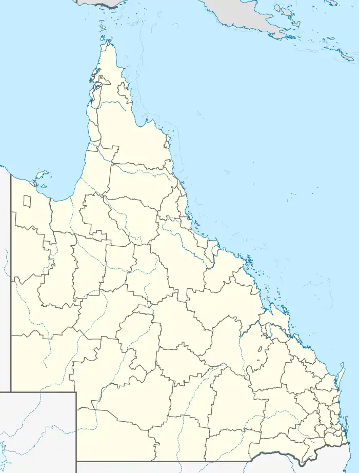
| Coordinates | 12°35′51″S 143°24′40″E / 12.5974°S 143.4111°E |
| Postcode(s) | 4892 |
| Time zone | AEST (UTC+10:00) |
| LGA(s) | Shire of Cook |
| State electorate(s) | Cook |
| Federal division(s) | Leichhardt |
Portland Road is a town in the Shire of Cook, Queensland, Australia.[1] The town is within the locality of Iron Range.[2]
History
The town takes its name from the Portland Road harbour (12°35′41″S 143°24′41″E / 12.5947°S 143.4114°E).[1] The harbour, in turn, is named after William Henry Cavendish, Duke of Portland.[3] The name first appears on an 1897 chart published by the British Admiralty.[4]
Portland Road was previously the port and support centre for Iron Range. In World War II, Portland Road became an airstrip and staging post.[5] There was a large jetty, which has since been removed. Many old bunkers and rusting 44 gallon drums can still be found in bush areas.
References
Wikimedia Commons has media related to Portland Road, Queensland.
- 1 2 "Portland Road – population centre in Cook Shire (entry 43618)". Queensland Place Names. Queensland Government. Retrieved 8 January 2020.
- ↑ "Queensland Globe". State of Queensland. Retrieved 8 January 2020.
- ↑ "Sea Tragedies". The Capricornian. Vol. 54, no. 38. Queensland, Australia. 8 August 1929. p. 12. Retrieved 26 January 2021 – via National Library of Australia.
- ↑ "Portland Road – harbour in the Shire of Cook (entry 27362)". Queensland Place Names. Queensland Government. Retrieved 26 January 2021.
- ↑ Randall, Brian (6 November 2015). "Queensland Places - Restoration". State Library of Queensland. Retrieved 25 September 2023.
This article is issued from Wikipedia. The text is licensed under Creative Commons - Attribution - Sharealike. Additional terms may apply for the media files.