Pleasant Township | |
|---|---|
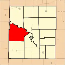 Location in Coffey County | |
| Coordinates: 38°12′50″N 095°52′36″W / 38.21389°N 95.87667°W | |
| Country | United States |
| State | Kansas |
| County | Coffey |
| Area | |
| • Total | 68.13 sq mi (176.45 km2) |
| • Land | 61.04 sq mi (158.1 km2) |
| • Water | 7.09 sq mi (18.35 km2) 10.4% |
| Elevation | 1,129 ft (344 m) |
| Population (2000) | |
| • Total | 272 |
| • Density | 4.5/sq mi (1.7/km2) |
| GNIS feature ID | 0477444 |
Pleasant Township is a township in Coffey County, Kansas, United States. As of the 2000 census, its population was 272.
Geography
Pleasant Township covers an area of 68.13 square miles (176.5 km2) and contains no incorporated settlements. According to the USGS, it contains three cemeteries: Bailey, Baker and Strawn.
The streams of Buffalo Creek, Eagle Creek, Fourmile Creek, Jacobs Creek and Otter Creek run through this township.
Transportation
Pleasant Township contains one airport or landing strip, Burlington Municipal Airport.
References
External links
Municipalities and communities of Coffey County, Kansas, United States | ||
|---|---|---|
| Cities | 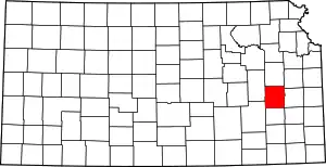 Map of Kansas highlighting Coffey County | |
| Unincorporated communities | ||
| Townships | ||
This article is issued from Wikipedia. The text is licensed under Creative Commons - Attribution - Sharealike. Additional terms may apply for the media files.